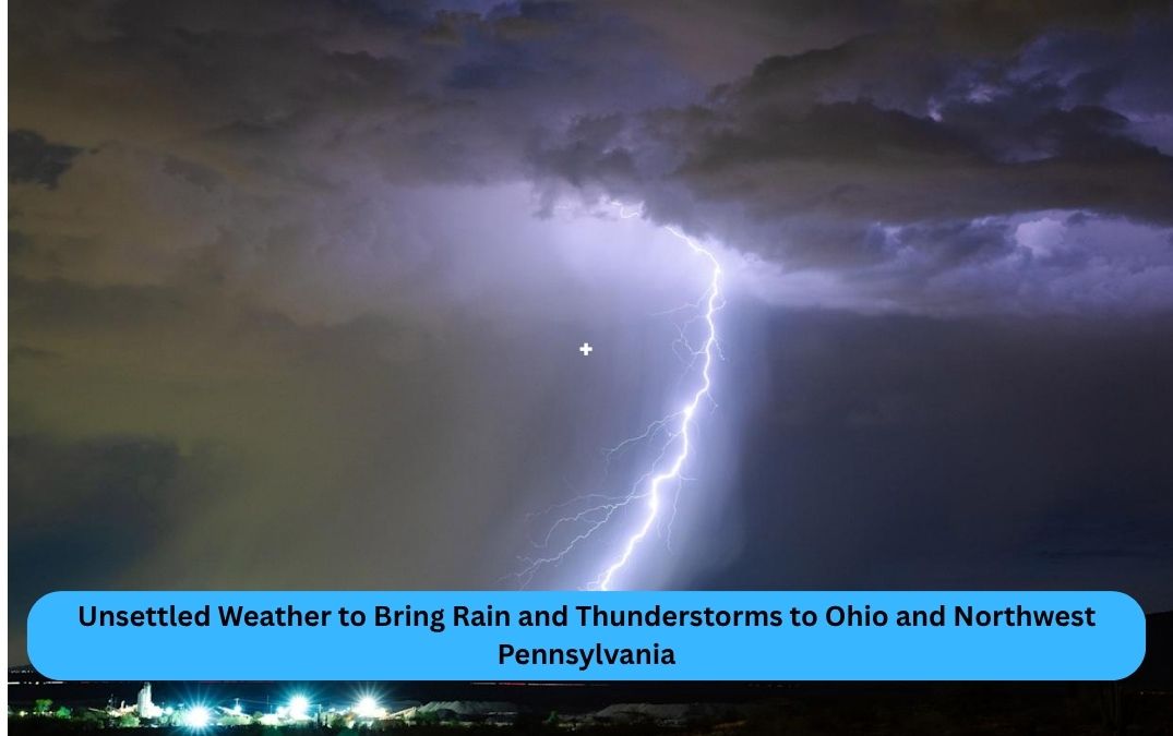
A wave of unsettled weather is set to move across central and northern Ohio and northwest Pennsylvania, bringing rain showers and scattered thunderstorms through the middle of the week.
According to the National Weather Service in Cleveland, an upper-level low is tracking northward from the Mid-Mississippi Valley into the Ohio River Valley, fueling a wet and stormy pattern starting late Monday and continuing into Tuesday and beyond.
Clouds and Rain Rolling In
The day began with calm and mild weather, but increasing cloud cover will lead to the arrival of rain showers by late afternoon or early evening. Thunderstorms are also possible, though severe weather is not expected at this time.
Daytime highs will range from the mid-70s in central Ohio to the upper 70s and near 80 degrees in northern Ohio and northwest Pennsylvania.
Persistent Rain Through Tuesday
Rain chances remain high through Tuesday, with scattered showers and the possibility of a few thunderstorms. However, meteorologists say there’s currently no significant risk of severe weather, with only minor concerns for gusty winds or small hail in isolated storms.
Rainfall totals are expected to reach about a quarter inch through Tuesday afternoon. Temperatures will dip slightly, with highs from the upper 60s in northwest Pennsylvania to the low and mid-70s across northeast and northwest Ohio.
Midweek Outlook: Gusty Winds, Isolated Storms
Heading into Wednesday and Thursday, the stormy trend continues. While a few stronger thunderstorms may form midweek, the overall severe weather threat remains low due to limited atmospheric instability.
“Minimal bulk layer shear is in place, so we’re not anticipating a severe weather outbreak with this system,” the NWS Cleveland forecast noted.
By Thursday, a temporary ridge of high pressure may bring drier conditions in the morning, though isolated afternoon storms could return by late day.
Lake Erie Weather: Breezy with Changing Winds
Mariners on Lake Erie should note a shift in conditions. The persistent high pressure is moving out, making way for southeasterly winds through Thursday night.
By Friday, a cold front is forecast to cross the lake, triggering stronger southwesterly to westerly winds. Weekend boaters should brace for breezy conditions—a heads-up for captains planning any outings.
Stay tuned to therocketflame.com for daily weather updates, breaking news, and more.