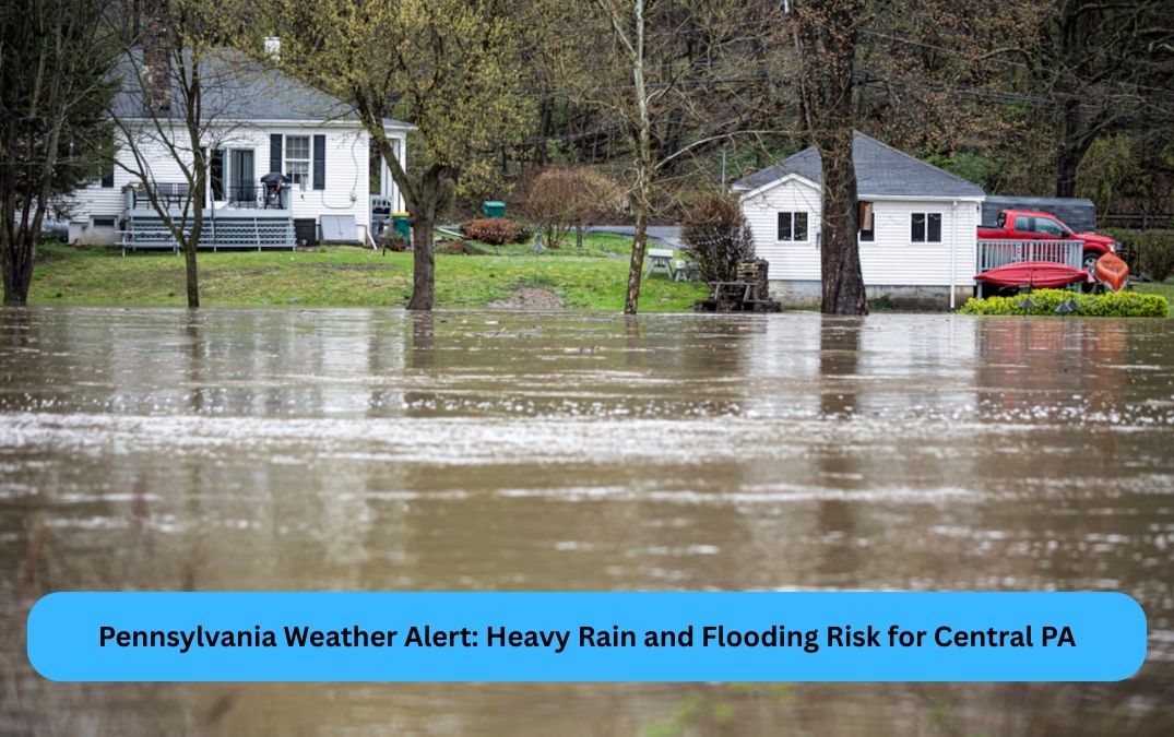
State College, PA – Central Pennsylvania is bracing for heavy rain and thunderstorms today, with flooding risks particularly affecting areas east of Interstate 81. The National Weather Service (NWS) has issued a hazardous weather outlook, warning residents in State College and surrounding regions to prepare for potentially dangerous conditions.
Thunderstorms are expected to develop by the afternoon, bringing localized downpours that could cause flooding, especially in low-lying areas and on roadways. The rain is expected to begin after 2 p.m., with an 80% chance of precipitation continuing through the evening. Residents and travelers are advised to avoid non-essential travel, as heavy rain and thunderstorms could lead to slick roads and poor visibility. As of this morning, temperatures in State College were around 55°F, with calm winds, but conditions are set to change quickly as storms approach.
What to Expect on Friday and Beyond
Friday will bring a 60% chance of more rain and scattered thunderstorms, continuing into the evening. While not as severe as today’s storms, expect periodic showers and thunder, with temperatures reaching around 59°F. Keep your umbrellas handy!
Good News for the Weekend
Looking ahead to the weekend, the forecast improves significantly. Saturday and Sunday will see mostly sunny skies with highs near 70°F, making it a perfect time for outdoor activities or Mother’s Day celebrations.
Stay safe and stay updated on the weather to protect yourself and your family!