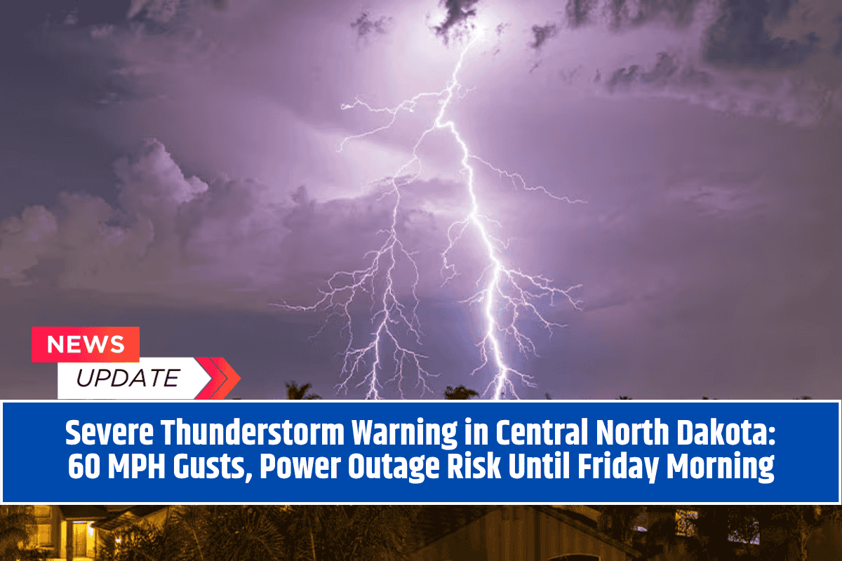
Bismarck, North Dakota – Central North Dakota is currently experiencing intense thunderstorms, with damaging wind gusts of up to 60 mph sweeping across cities like Bismarck, Mandan, Devils Lake, and surrounding areas.
The National Weather Service (NWS) has issued severe thunderstorm warnings that are expected to stay in effect until at least 2 a.m. Friday (CDT).
Storm Slams Bismarck With 62 MPH Gusts
Shortly after 1 a.m., a wind gust of 62 mph was recorded at Bismarck Airport, marking one of the strongest readings of the night. The rapidly moving storm system is heading east at speeds of up to 70 mph, impacting counties such as Burleigh, Morton, Kidder, Wells, and Sheridan.
Cities and Areas Under Warning
Severe thunderstorm warnings cover multiple cities and towns, including:
Mandan
Lincoln
New Salem
Harvey
Devils Lake
These areas are facing the risk of downed trees, power lines, and hazardous driving conditions, especially on major roads like Interstate 94 and U.S. Highway 83.
Hail and Flash Flood Concerns
Radar data suggests quarter-size hail may be forming near Devils Lake, while penny-size hail is possible in areas around Wells and Sheridan counties. With heavy rainfall expected in some regions, there is also a risk of localized flash flooding, especially in lakeside communities such as Crown Butte Lake and Lakewood Park.
Safety Measures for Residents
Emergency officials have issued the following safety instructions:
Stay indoors and away from windows
Charge mobile phones in case of a power cut
Move to an interior room on the lowest floor of your home
Do not call 911 unless there is a life-threatening emergency
Avoid travel, especially on I-94 and US-83, due to low visibility and fallen debris
Utility teams are on standby to deal with potential outages and damage to infrastructure, while law enforcement continues to monitor road safety conditions.
Storm Expected to Last Until Dawn
The severe weather threat will continue until sunrise, with more alerts and warnings likely to be issued as the storm system pushes eastward. The National Weather Service urges residents to stay tuned to NOAA Weather Radio, local news, and official weather apps for real-time updates.
With high-speed winds, large hail, and the potential for flash flooding, this storm is one of the strongest to hit central North Dakota this season. Everyone in the warning area should take this situation seriously, follow safety guidance, and remain indoors until the all-clear is given. More updates are expected through the early hours of Friday.


