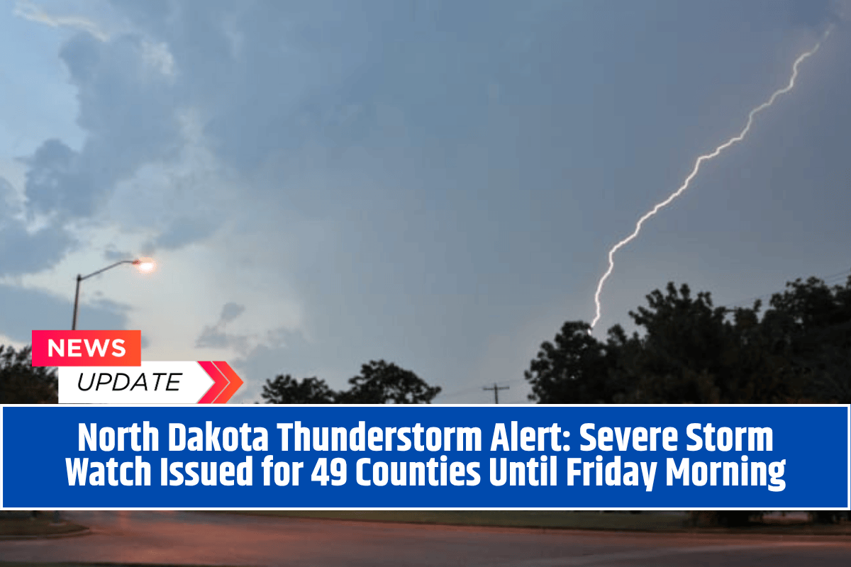
Bismarck, North Dakota – A powerful line of thunderstorms is expected to sweep across central and eastern North Dakota overnight, prompting the National Weather Service to issue multiple severe weather watches for 49 counties.
With threats of large hail, strong winds, and flash flooding, authorities are urging residents to take precautions and avoid unnecessary travel.
Two Separate Watches in Effect
The National Weather Service has issued two active watches across different regions:
Severe Thunderstorm Watch 576 is active until 3 a.m. CDT for central and western parts of the state. Counties under this watch include Bottineau, Burleigh, Mercer, Morton, Stark, and Ward.
Severe Thunderstorm Watch 577 covers the eastern region, including Cass, Grand Forks, Barnes, and Stutsman counties. This watch is valid until 7 a.m. CDT on Friday.
Weather experts are warning of frequent lightning, damaging winds over 60 mph, and heavy rainfall, which could lead to flash floods in low-lying areas.
High-Risk Areas and Travel Concerns
Major cities like Bismarck, Minot, Devils Lake, Grand Forks, and Fargo are in the storm’s path. Emergency teams are urging residents to:
Stay indoors during the storm
Avoid driving, especially on highways like U.S. 83, Interstate 94, and rural roads
Keep phones fully charged
Prepare for potential power cuts
High winds may bring down tree branches and cause temporary power outages. Outdoor furniture and other loose items should be secured immediately.
What to Expect Through the Night
As the night progresses, the storm system may shift, with possible new alerts issued if conditions worsen or redevelop. Meteorologists expect the storm to weaken by sunrise on Friday, but residents are advised to remain alert and monitor official updates from the National Weather Service.
With nearly the entire state on alert, North Dakotans are facing a night of severe weather. Strong thunderstorms, heavy rainfall, and high-speed winds can create dangerous conditions.
The safest choice is to stay indoors, avoid unnecessary travel, and be prepared for short-term power disruptions. As always, stay informed through local news and weather apps for the latest safety alerts and storm updates.


