Greenville, South Carolina – A new wave of heavy rain is moving northeast across the Carolinas and northeast Georgia this morning, raising concerns for flash flooding, particularly south of I-85.
Areas that received 2 to 5 inches of rain on Tuesday are at an increased risk, as the already saturated ground struggles to absorb more rainfall.
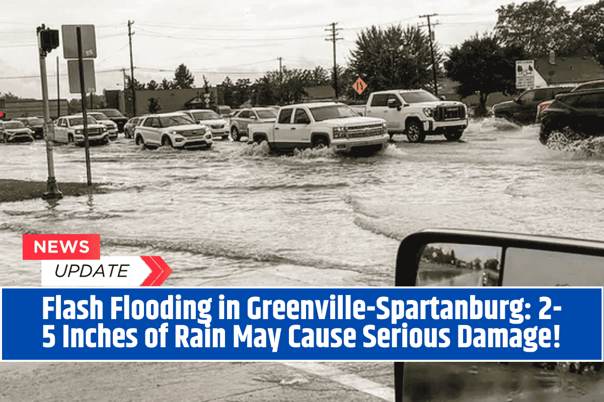
Flash Flooding Risk and Affected Areas
The National Weather Service in Greenville-Spartanburg has issued warnings for moderate to heavy rain continuing through the morning hours. Flash flooding is possible, especially in low-lying areas near Greenville, Anderson, Spartanburg, and extending into western North Carolina.
The primary concern stretches from northeastern Georgia to central South Carolina, where heavy rain has already caused significant wetness in the ground.
Driving Hazards and Safety Tips
Drivers traveling along I-85 and nearby routes should remain cautious. The heavy rain may lead to ponding on roads, rapidly rising creeks, and reduced visibility. Local officials have issued a reminder for motorists to “Turn Around, Don’t Drown” if they encounter water-covered roads, emphasizing safety during these hazardous conditions.
Disruption to Early Travel and Commutes
Flood-prone neighborhoods and rural lowlands may see localized flooding that could disrupt travel, especially during the morning commute. Residents in these areas should plan for potential delays and remain alert to changing conditions.
Rain Tapering Off, But Flooding Risks Remain
While rain is expected to taper off by early afternoon, the ground remains highly vulnerable to flooding if additional storms develop later in the week. Officials will continue to monitor the situation and provide updates as needed.


