Toledo, Ohio – Pop-up storms and humid air could interrupt outdoor plans across northwest Ohio today as a weak trough moves through the region. While temperatures will reach the mid-80s, typical for early August, the main concern is scattered afternoon showers and storms north of I-70.
Afternoon Showers and Storms Likely
The National Weather Service in Cleveland forecasts light showers starting as early as 1 p.m. With rain chances increasing by 5 p.m. in cities like Findlay, Bowling Green, and Toledo, scattered showers could affect outdoor activities.
Rain probabilities peak around 35% in the northwest region, with isolated thunderstorms possible. However, there is no widespread severe weather expected.
Cleveland, Akron, and Erie, PA Outlook
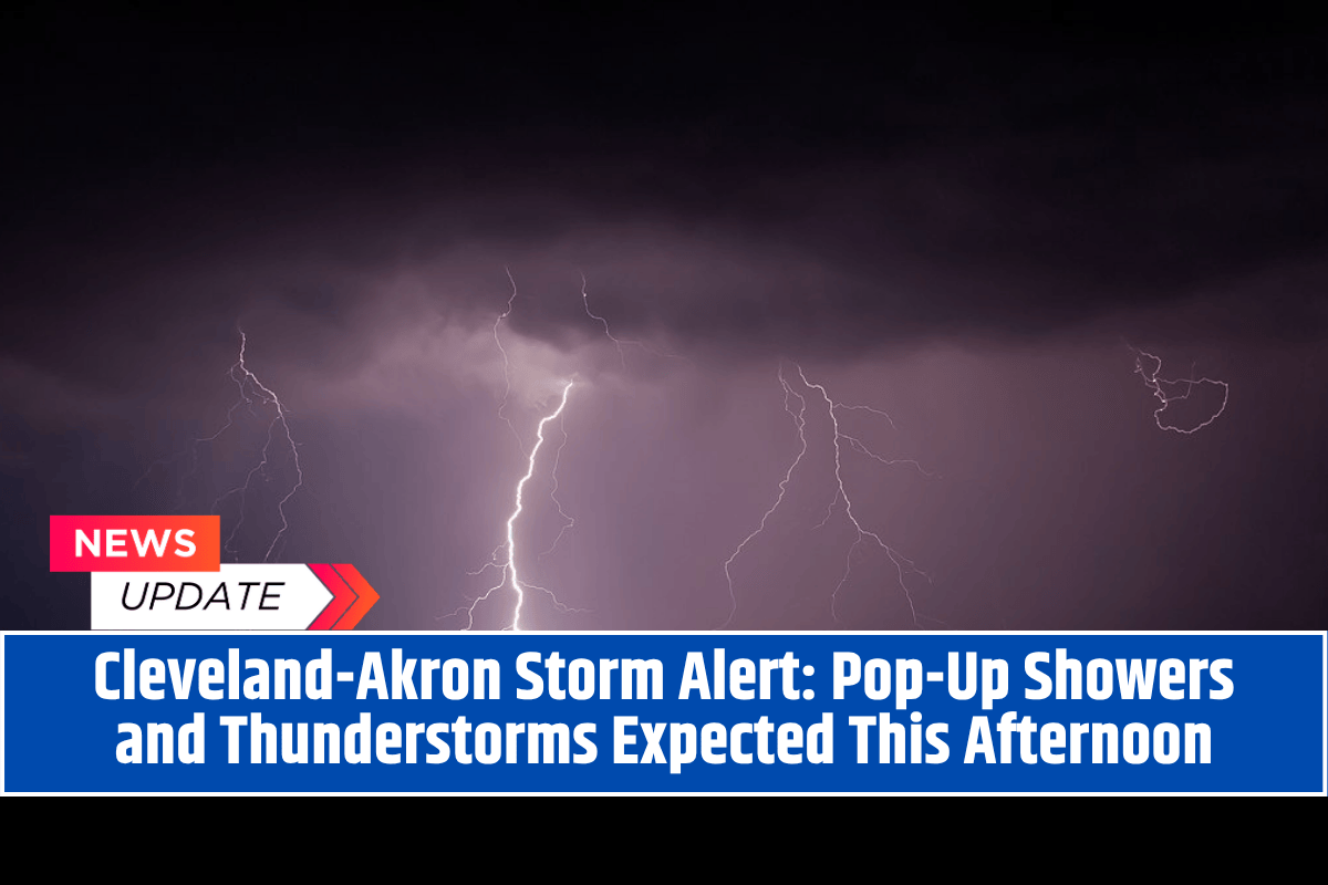
Cleveland, Akron, and Erie, Pennsylvania, should remain mostly dry throughout the day. A brief sprinkle is possible later in the evening, but heavy rainfall is not anticipated. Drivers traveling along I-75 and U.S. Route 20 should be cautious of wet pavement and localized ponding, especially during the late-day commute.
Humidity and Storm Monitoring
With high humidity levels throughout the region, outdoor workers and event organizers in areas like Marion, Lima, and Tiffin are encouraged to monitor weather radar for any sudden storm developments.
Clearing by Thursday
As the evening progresses, rain chances will decrease, and conditions should cool down slightly. Dry weather is expected to return by Thursday, with no additional alerts unless storms unexpectedly redevelop this evening.


