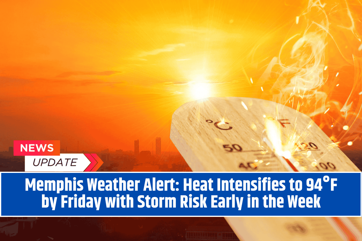
Memphis, TN – After a brief chance of thunderstorms Tuesday afternoon, heat and sunshine will dominate the rest of the week across the Memphis area, with highs climbing into the mid-90s by Friday.
The National Weather Service (NWS) in Memphis is urging residents to prepare for several days of hot, dry conditions, with limited relief through the weekend.
Tuesday Storms Followed by a Hot, Dry Stretch
The week starts with a 20% chance of isolated thunderstorms Tuesday afternoon, primarily after 3 p.m. These storms may bring brief gusty winds or lightning, especially across Shelby County and nearby areas. However, these showers will be short-lived, as skies begin to clear by evening.
From Wednesday onward, the focus shifts to rising temperatures and dry weather, with heat intensifying through Friday.
Day-by-Day Forecast
Tuesday:
Partly sunny with a slight chance of afternoon storms (20%). High near 89°F.
Wednesday:
Skies clear and temperatures rise. Expect a sunny day with a high around 92°F.
Thursday–Friday:
Hot, dry, and sunny. Highs climb to 94°F by Friday, with increasing humidity.
Saturday–Sunday:
Little change in pattern. Expect continued sunshine and highs in the mid-90s.
Heat Safety: What You Should Know
Although no official heat advisories are in place yet, the prolonged stretch of 90+°F days will increase the risk of heat-related illness, especially with added humidity and little overnight cooling.
Heat Safety Tips
Drink plenty of water throughout the day
Avoid being outside during peak heat hours (12 p.m. to 5 p.m.)
Wear light, breathable clothing
Check on elderly neighbors, young children, and pets
Avoid strenuous activities during the hottest times of day
Never leave people or animals in parked vehicles
Outlook: Dry Pattern Likely to Continue
There’s no significant rain or storm activity expected after Tuesday. High pressure will dominate the region, maintaining a dry and hot forecast through the weekend.
Long-range models suggest the heat may continue into early next week, keeping conditions uncomfortable for outdoor workers and event organizers.
Memphis is heading into a classic late-summer heat stretch, with highs in the 90s, high humidity, and very little relief from sunshine. While Tuesday could bring a brief chance for storms, the bigger weather story is the return of heat and dry skies.
With temperatures nearing 94°F by Friday, now’s the time to start taking precautions to stay cool, hydrated, and safe.


