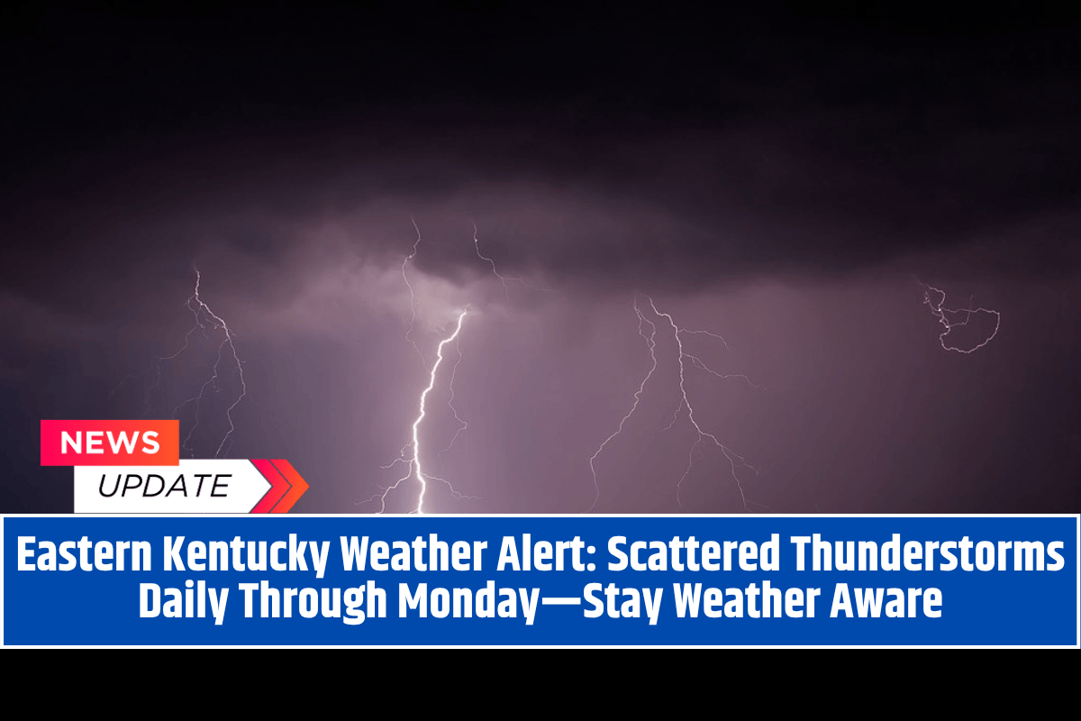
Jackson, KY – Eastern Kentucky is heading into a wet and stormy stretch, as a persistent summer weather pattern sets the stage for daily afternoon thunderstorms through Monday.
While no widespread severe weather is expected, residents should prepare for pop-up storms, localized downpours, and the potential for brief travel disruptions each day—especially during the afternoon and evening hours.
The National Weather Service in Jackson reports that heat, humidity, and weak upper-level disturbances will continue to fuel scattered thunderstorm development across the region. Though spotter activation isn’t expected, residents should remain alert to changing conditions throughout the week.
Day-by-Day Forecast for Eastern Kentucky
Tuesday:
Mostly sunny early, with a slight chance of isolated showers after 4 p.m.. High around 83°F, with calm winds. Patchy fog may form overnight.
Wednesday:
Storm chances increase by the afternoon, with a high near 85°F and a low around 64°F. Keep an umbrella handy for late-day plans.
Thursday–Friday:
Expect 30% chances of afternoon storms both days. Skies will be mostly sunny otherwise, with highs in the mid-80s.
Saturday–Sunday:
The weekend continues the same stormy pattern, with another 30% chance of pop-up storms each afternoon. Temperatures will gradually rise, reaching the upper 80s by Sunday.
Monday:
The daily storm cycle holds, with continued storm risk and humid conditions likely to begin the new week.
What to Expect
While no major storm systems are expected, this type of pattern can still bring brief but intense weather impacts, such as:
Heavy downpours that may cause localized flooding, especially in low-lying or poorly drained areas
Lightning that could briefly halt outdoor sports, events, or recreation
Reduced visibility and slick roads during sudden showers
Short-term travel delays due to changing weather
Safety Tips for the Week
With afternoon storms likely each day, it’s a good idea to:
Check local forecasts hourly, especially before driving or planning outdoor activities
Have indoor backup plans ready for cookouts, practices, and weekend events
Never seek shelter under trees during a thunderstorm—go indoors or into a vehicle
Avoid flooded roads—“Turn around, don’t drown”
Make sure outdoor furniture or tents are secured to avoid wind-related damage
No Watches or Warnings… Yet
At this time, there are no active watches or warnings across eastern Kentucky, and severe weather is not anticipated. However, the cumulative impact of daily thunderstorms—especially if any stall or train over the same areas—could still lead to brief flooding or hazardous travel in some locations.
Eastern Kentucky residents should be prepared for unstable and humid afternoons, with daily chances for pop-up thunderstorms through early next week.
Though each storm will be scattered and short-lived, the cumulative impact could affect travel, outdoor events, and daily routines. Stay safe, stay dry, and keep an eye on the sky and forecast through the coming days.


