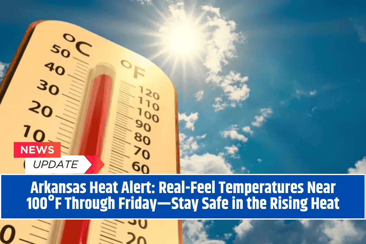
Little Rock, AR – A dangerous wave of triple-digit heat index values will take hold across Arkansas this week, with sunny skies, little wind, and rising humidity combining to create uncomfortable—and potentially hazardous—conditions.
The National Weather Service warns that by Wednesday afternoon, parts of the state will feel like it’s nearly 100°F, even if actual temperatures stay just under official heat advisory levels.
This heat surge is expected to last through at least Friday, with daily high temperatures climbing into the mid-90s and barely any chance of rain or cloud cover to provide relief.
What to Expect This Week
A stagnant weather pattern is setting up over Arkansas, allowing temperatures to climb steadily while humidity levels push the “feels like” numbers even higher.
Here’s your day-by-day breakdown:
Tuesday:
Sunny and hot, with a high near 92°F. Light northeast winds offer little cooling.
Wednesday:
High near 93°F, but with a heat index pushing 97°F. Clear skies and light winds continue.
Thursday:
Even hotter, with a high near 95°F under sunny, dry skies.
Friday:
Peak heat day. High around 96°F, with little wind and continued humidity. Heat index values could again push near or above 100°F.
Saturday:
Slight relief may come with cloud development, but temperatures remain high at around 96°F.
Sunday:
Dry conditions continue with a high in the mid-90s.
Monday:
A slight 20% chance of thunderstorms returns, but no significant cooldown is expected.
Health Officials Issue Heat Safety Advice
Though temperatures may not trigger an official heat advisory, “real feel” temperatures (heat index values) could be dangerous, especially for young children, older adults, outdoor workers, and pets.
Residents are strongly advised to:
Limit outdoor activity between 12 p.m. and 5 p.m.
Drink water regularly, even if you don’t feel thirsty
Wear lightweight, loose-fitting clothing
Take frequent breaks if working outdoors
Check on elderly neighbors, especially those without air conditioning
Never leave children or pets in vehicles, even for a short time
No Rain in Sight—Dry Pattern Dominates
In addition to the heat, the forecast shows no rainfall or significant cloud cover through the weekend. The earliest chance for relief comes Monday, and even then, it’s only a slight (20%) chance of thunderstorms.
That means lawns will dry out, fire danger may increase, and air quality could suffer—especially in urban areas like Little Rock, Fort Smith, and Jonesboro.
Arkansas residents should take this heat seriously. While not officially classified as a heat wave, the prolonged stretch of hot, dry, and humid days can be just as dangerous. With no significant relief expected until next week, now’s the time to prioritize hydration, rest, and heat safety.
Whether you’re commuting, working outdoors, or planning a weekend event, keep in mind: it may feel like 100°F or more during the afternoon. Stay cool, stay safe, and stay weather-aware.


