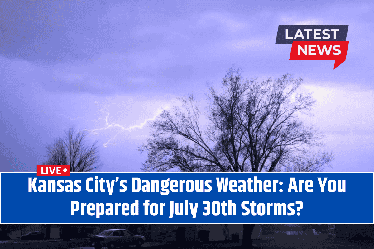
Kansas City, Missouri – A significant weather shift is set to impact Missouri on Wednesday, July 30th, with dangerously hot conditions giving way to severe thunderstorms, heavy rain, and potential flooding.
The National Weather Service (NWS) in Kansas City has issued a Weather Alert, and residents across Jackson County, particularly along I-70, are advised to prepare for challenging travel conditions and possible road impacts.
Heat Advisory Ends, Storms Begin
The heat will persist until Tuesday evening, with high humidity levels continuing to make it feel even hotter. However, a slow-moving front will spark thunderstorms and heavy rain early Wednesday.
The chances of showers and thunderstorms will increase overnight Tuesday, with a 50% chance of rainfall by 10 a.m. Wednesday, continuing until 4 p.m.
The storms could bring heavy downpours that might reduce visibility, cause ponding on roads, and lead to hazardous travel conditions, especially for motorists on I-70 and throughout the metro area. The NWS urges people to limit travel during peak storm times and monitor weather alerts for updates.
Rainfall could reach up to half an inch in some areas, with the heaviest rain expected where thunderstorms are most intense. The possibility of flooding and slick roads will continue into Thursday morning as the rain lingers. Residents are advised to stay alert and be cautious of changing weather conditions.
Cooler Weather to Follow
After Wednesday’s storms, a significant temperature drop is expected. Behind the storms, cooler air will arrive, bringing highs down to the mid-70s on Thursday and Friday—much lower than the typical summer heat. These cooler conditions will bring some relief after the intense weather, making Thursday and Friday more comfortable.
Though the rain will likely clear out by Thursday afternoon, the threat of localized flooding remains. It’s a good time to check your gutters and be prepared for possible power outages due to the storms. Conditions could continue to evolve through Thursday, so it’s important to stay informed with any new advisories.
Five-Day Forecast for Kansas City, MO (Wednesday, July 30 – Monday, August 4)
Wednesday: Showers and thunderstorms likely, particularly mid-morning to late afternoon. High: 86°F, Heat index up to 95°F. Rainfall could be heavy at times.
Thursday: Morning showers with mostly cloudy skies. Cooler. High: 77°F, Low: 64°F.
Friday: Partly sunny and pleasant. High: 76°F, Low: 62°F.
Saturday: Mostly sunny and mild. High: 81°F, Low: 64°F.
Sunday: Partly sunny with a low chance of showers. High: 85°F, Low: 66°F.
Monday: Chance of showers, mostly sunny intervals. High: 86°F.
Warnings and advisories may continue into Thursday as conditions evolve. Stay updated with local weather reports and always follow local emergency management guidance.


