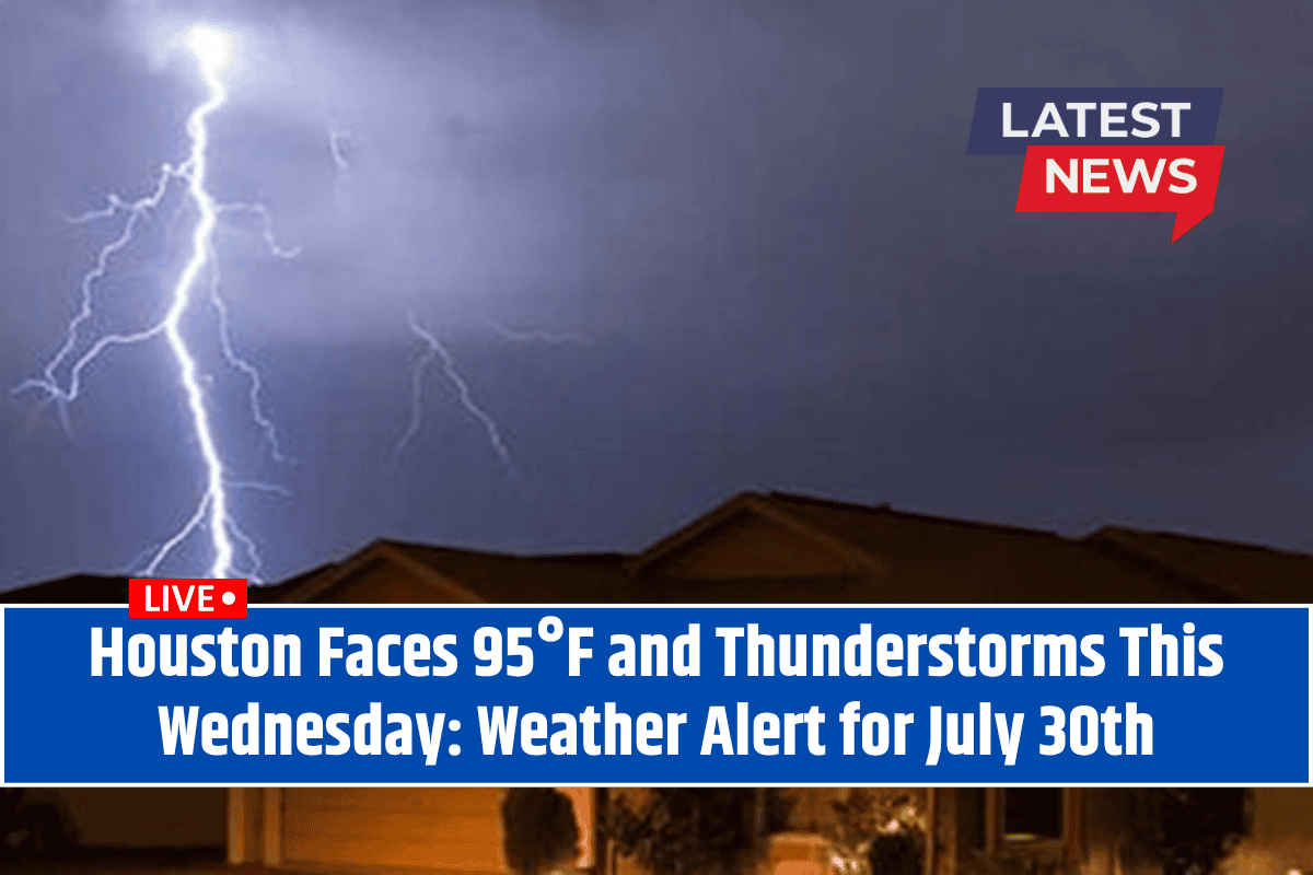
Houston, Texas – Houston is in for another round of intense summer weather as temperatures rise and thunderstorms are expected to move in by Wednesday, July 30th.
Residents across the metro area and along I-45 should prepare for sweltering heat with highs reaching 95°F and the potential for thunderstorms.
By late morning, the combination of strong sun and rising humidity will push the heat index near 100°F, making outdoor activities potentially hazardous. Staying hydrated and limiting outdoor time will be key to staying safe.
Thunderstorms Expected by Midday
According to the National Weather Service, Houston will experience partly sunny skies in the morning, but conditions will become more unsettled by midday. Scattered thunderstorms and showers are expected to develop after 10 a.m.
The main threats include gusty winds, lightning, and heavy rainfall, which could make driving on major roads like I-45 and the 610 Loop difficult.
Local authorities are advising residents to monitor for sudden downpours and to avoid driving through flooded roads. If you encounter water covering the roadway, it’s best to turn around and find an alternate route.
Outdoor workers should prepare for additional breaks, especially due to the risk of lightning, and consider having a backup plan for staying safe during stormy conditions. Energy companies are also advising residents to charge their devices in advance, as brief power outages may occur during the storms.
Hot Days Ahead with Scattered Storms
Looking ahead, the heat continues through the rest of the week. Thursday will see temperatures near 93°F with a 40% chance of afternoon thunderstorms, while Friday will bring another 40% chance of showers and thunderstorms, especially after 1 p.m. These storms could disrupt outdoor events and make driving hazardous due to the rain and wind.
For the weekend, expect off-and-on rain chances and muggy conditions with temperatures holding steady near 92-93°F. Be prepared for the possibility of storms and sudden changes in weather. On Monday, the forecast calls for a continued chance of thunderstorms, especially in the afternoon.
Five-Day Forecast for Houston, TX (Starting Wednesday, July 30th)
Wednesday, July 30: Partly sunny, then a 40% chance of showers and thunderstorms after 10 a.m. High near 95°F.
Thursday, July 31: 40% chance of storms, mainly after 1 p.m. Partly sunny, high near 93°F.
Friday, August 1: 40% chance of showers and thunderstorms, mainly after 1 p.m. High near 93°F.
Saturday, August 2: 40% chance of storms, high near 92°F.
Sunday, August 3: 50% chance of showers and thunderstorms. Partly sunny, high near 92°F.
Monday, August 4: 40% chance of showers and thunderstorms. Mostly sunny, high near 92°F.
Houston residents should brace for more intense summer heat and thunderstorms this week. With temperatures reaching 95°F and the potential for sudden storms, it’s important to stay alert and take precautions, especially while driving on I-45 and other major roads.
Keep an eye on weather updates and always be prepared for changing conditions, especially if you have outdoor plans.


