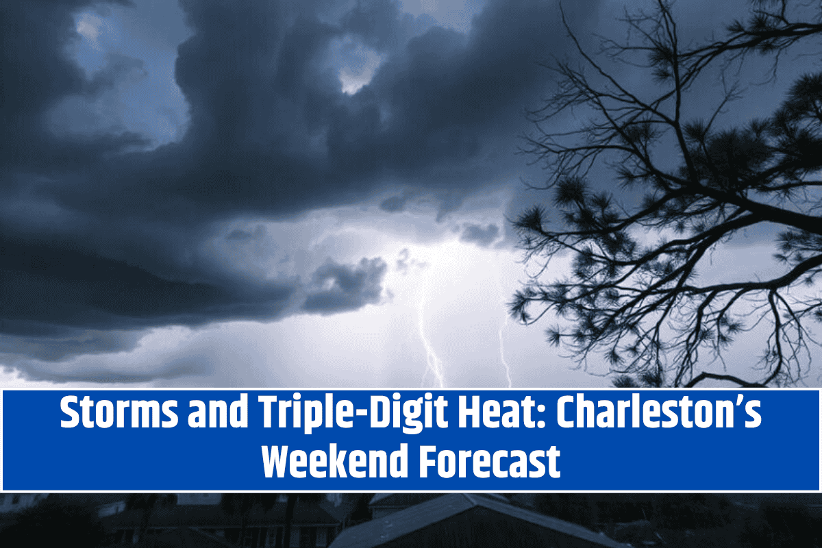
Charleston, West Virginia – Triple-digit heat and Saturday afternoon thunderstorms are expected to hit Charleston, just as weekend traffic begins to pick up on I-64. The National Weather Service is predicting isolated storms after 11 a.m. Saturday, July 26, with a 50% chance of thunderstorms throughout the afternoon.
Weather Forecast for Saturday, July 26
Highs will reach 92°F, with heat index values potentially peaking near 100°F. Winds will remain light, coming from the southwest, but sudden gusts and lightning are likely during storms.
Travel Impact and Safety Tips
If you’re outdoors or traveling through Kanawha or Putnam counties, especially along I-64, be prepared for sudden weather changes after midday. Experts recommend packing extra water, limiting outdoor work, and staying updated on weather alerts for possible severe thunderstorm warnings.
Evening and Sunday Outlook
Saturday night brings a 20% chance of additional showers, with calmer skies returning briefly on Sunday. However, the break will be short-lived. Sunday afternoon storms are 70% likely between 2 p.m. and 8 p.m., as another surge of warm, moist air feeds thunderstorm development.
Extended Weather Outlook (Charleston Area)
Saturday: High near 92°F. 50% chance of storms after 11 a.m.. Heat index up to 100°F.
Sunday: 70% chance of thunderstorms, mainly between 2–8 p.m. High near 90°F.
Monday: 50% chance of afternoon storms. High around 92°F.
Tuesday: Mostly sunny with a high of 93°F. Dry break begins.
Wednesday: Sunny and slightly cooler, high near 92°F.
Thursday: 40% chance of afternoon thunderstorms. High near 85°F.


