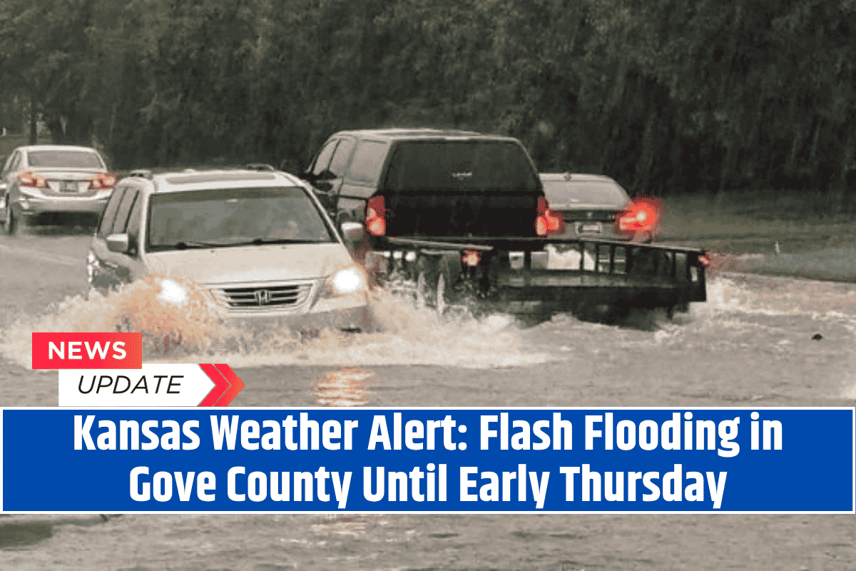
Heavy rain from overnight thunderstorms has caused localized flooding in Gove County, Kansas, early Thursday morning. The National Weather Service has issued a Flood Advisory that will remain in effect until 3:30 a.m. CDT.
Why is There Flooding?
The heavy rain, which began shortly after 1:30 a.m., has caused minor flooding in areas with poor drainage and low-lying spots. Towns like Quinter and Park are particularly affected. According to Doppler radar, intense downpours have overwhelmed the usual drainage systems, which could make the roads and neighborhoods dangerous.
What Should Drivers Do?
Residents and drivers are urged to avoid flooded roads. Even small amounts of water on the road can cause vehicles to stall or be swept away. Emergency officials are reminding people to “turn around, don’t drown.” This means, if you encounter a flooded road, it’s safer to go back and find a different route.
Are Other Areas Affected?
Local creeks and storm drains may overflow as the rain continues, which can lead to temporary flooding in these areas. Residents living in flood-prone spots should stay alert and be ready to move to higher ground if the water rises quickly.
Will the Weather Improve?
The Flood Advisory will end at 3:30 a.m., but there may still be puddles and slick roads during the Thursday morning commute. These conditions could make driving dangerous, so it’s important to stay cautious. If the rain continues or new storms form, more weather alerts might be issued.
While the flash flooding should end by early morning, it’s important to stay informed and be careful, especially if you have to drive. Always avoid flooded areas to stay safe and remember that water, even in small amounts, can cause serious hazards on the roads.


