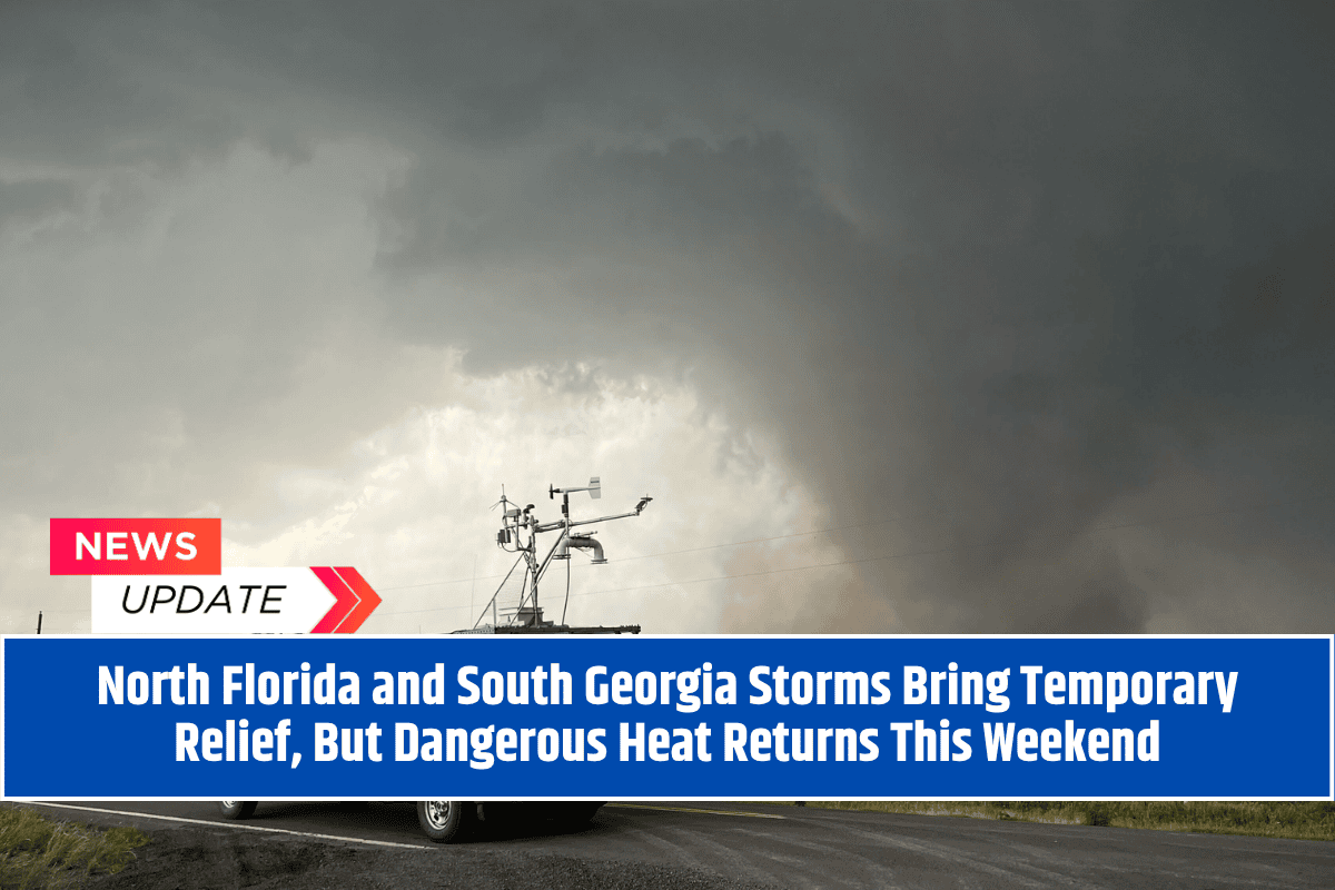
Tallahassee, Florida – A wave of showers and thunderstorms is currently sweeping across North Florida, South Georgia, and Southeast Alabama, providing a temporary break from the relentless heat.
The storms, expected to continue through Friday, are bringing much-needed rain to the region, but they also come with the risk of brief flooding and slick roadways in cities like Tallahassee, Albany, and Panama City. Travelers should be prepared for potential delays as heavy rain continues into Thursday night.
Relief from the Heat
The National Weather Service Tallahassee reports that precipitation chances remain high—between 60% to 80%—through Friday morning. The storms will bring a temporary relief from the ongoing heat, with cooler conditions expected through Friday.
However, the relief will be short-lived as drier air moves in for the weekend, setting the stage for a dangerous heat wave to return.
Heat Indices Soar This Weekend
By Saturday, the rain and humidity will clear out, but unfortunately, the return of drier air won’t offer much comfort. The heat index values are expected to climb into the triple digits, with “feels-like” temperatures topping 110°F in areas like Valdosta, Dothan, and Apalachicola from Sunday through Tuesday.
This extreme heat will make outdoor activities particularly hazardous, especially during peak heat hours in the afternoon.
Safety Tips
Residents are urged to limit outdoor activities during the hottest parts of the day and stay well-hydrated. The intense heat could put a strain on power grids and increase the risk of heat-related illnesses, particularly after a spell of cooler, wetter days.
It’s also crucial to check on vulnerable neighbors, as the extreme heat can be especially dangerous for the elderly, young children, and those with preexisting health conditions.
Looking Ahead
As the weekend approaches, the storms will taper off by late Friday, but excessive heat warnings are likely to be issued for the weekend and into next week. Stay tuned for additional updates and possible advisories as dangerous temperatures return to the region.


