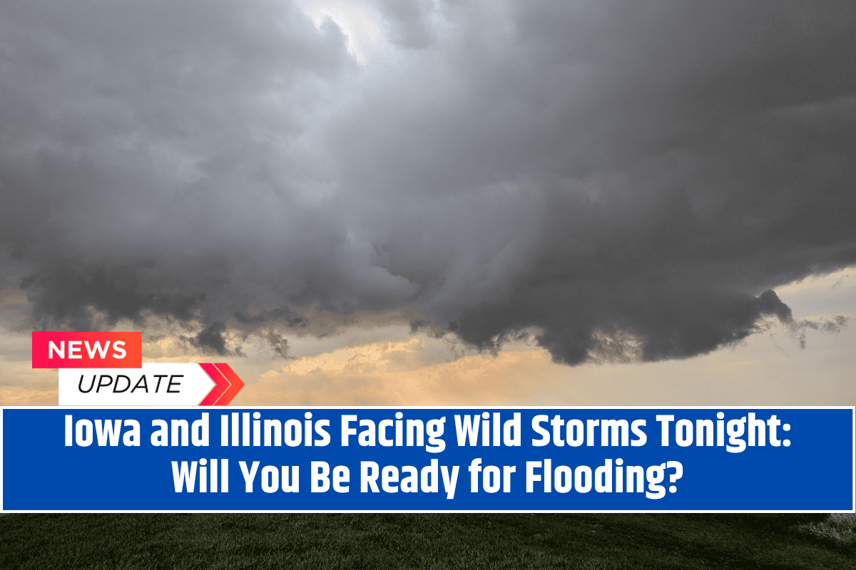
Quad Cities, Iowa/Illinois – Multiple rounds of strong storms are set to hit Iowa and Illinois starting tonight, with the potential for isolated damaging winds, frequent lightning, and minor flooding through Friday morning.
Local emergency officials are urging residents to stay vigilant due to rapidly changing conditions, particularly during the overnight hours.
Severe Weather Risk
The National Weather Service Quad Cities office has issued a marginal risk (level 1 out of 5) for severe weather across portions of eastern Iowa and western Illinois, lasting through early Friday. The storms are expected to develop overnight into Thursday, with additional rounds of severe weather possible through Friday morning.
As is common with summer weather, there remains uncertainty about where the strongest storms will form, but threats include isolated wind damage, frequent lightning, and localized flooding from heavy rainfall.
Affected Areas
Cities like Davenport, Rock Island, Moline, and surrounding areas are in the storm’s path. Major roadways, including I-80 and I-74, may experience brief flooding or dangerous wind gusts late tonight and early Thursday. Emergency managers advise that residents have multiple ways to receive weather alerts and stay indoors when thunderstorms occur.
Safety Tips
For those traveling, it’s crucial to watch for water over roadways and avoid driving during the most intense storms. With active weather expected into Friday, there may be additional alerts or advisories issued. Stay updated with local weather information to ensure safety.


