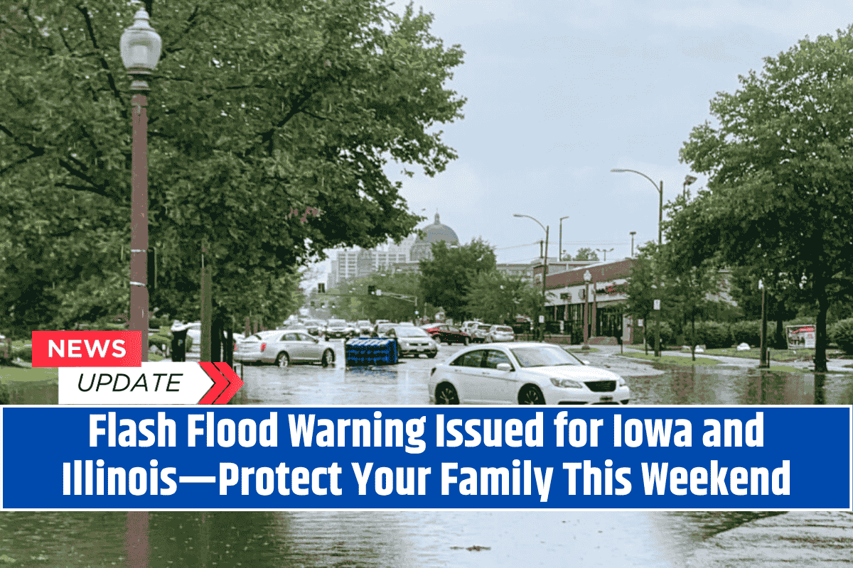
Davenport, Iowa – A Flood Watch has been issued for eastern Iowa and western Illinois, with the National Weather Service warning of a flash flooding threat starting at 1 a.m. Saturday and lasting through Sunday afternoon.
Residents are urged to stay alert as multiple rounds of thunderstorms are expected to impact the region, bringing the risk of rapid flooding.
Areas Affected
The flood watch covers cities such as Cedar Rapids, Davenport, Rock Island, and Burlington. Due to the already saturated soils from last week’s heavy rainfall, urban areas and locations with poor drainage are at the highest risk for flash flooding.
Counties like Benton, Linn, Scott, and Henry are especially vulnerable as the ground remains saturated, making it harder for rain to drain away.
Flash Flood Risks
Flash flooding is likely in areas with rapid runoff from the thunderstorms. Streets, especially in urban areas with inadequate drainage, may quickly become flooded, creating hazardous travel conditions. The storms could also cause rivers and streams to rise, with low-lying areas being at increased risk.
Safety Precautions
Avoid travel during heavy rainfall, especially in flood-prone areas.
Stay indoors and away from floodwaters.
If driving, avoid roads that are covered by water. Remember the safety rule: “Turn around, don’t drown.”
Secure outdoor items that could be swept away by strong winds and rain.
Stay Updated
As conditions evolve, flood warnings and additional advisories may be issued. It’s essential to stay tuned to NOAA Weather Radio or local weather updates to ensure safety throughout the weekend.


