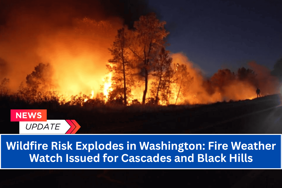
Seattle, Washington – Hot, dry, and unstable conditions are creating a serious wildfire risk across the West Slopes of the Cascades and the Black Hills through Wednesday night. This has put communities from North Bend to Olympia and beyond on high alert for potential wildfires.
Details of the Fire Weather Watch
The National Weather Service has issued a Fire Weather Watch from Tuesday morning through Wednesday evening for Fire Weather Zones 655, 658, and 659.
With winds expected to range from 5 to 20 mph and relative humidity dropping as low as 24 percent, these conditions are ideal for rapid fire spread and downwind spotting, making the region highly susceptible to wildfires.
The areas most at risk include the West Slopes of the North and Central Cascades, especially locations above 1,500 feet near Snoqualmie Pass, Leavenworth, and Mount Rainier National Park.
The Black Hills and Southwest Interior Lowlands, including Shelton, Tumwater, and the southern edges of Olympia, are also facing elevated fire risk due to increasing north winds.
Fire Risk and Safety Measures
Residents in these high-risk areas are urged to take immediate precautions:
Avoid open flames or outdoor burning: With the dry conditions, any sparks could quickly escalate into a wildfire.
Secure spark-producing equipment: Ensure that lawnmowers, chainsaws, and other equipment are safely maintained and used in a way that prevents sparks.
Prepare emergency kits: Be ready for potential evacuations by having emergency supplies on hand.
Be cautious near wooded areas: If fires ignite, be prepared for possible air quality issues, especially if you’re in close proximity to wooded areas.
Fire Weather Watch Duration and Possible Alerts
This is the first critical fire weather event of July for the region, and the Fire Weather Watch is set to remain in effect until at least 11 p.m. Wednesday. If conditions worsen, additional Red Flag Warnings may be issued to alert residents of even greater risks.


