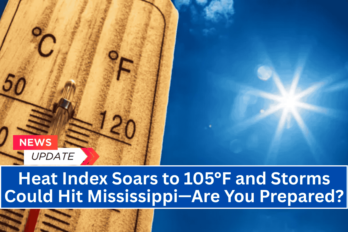
Jackson, Mississippi – Dangerous heat and isolated severe storms are expected to impact Mississippi today, with heat index values climbing near 105°F and strong storms threatening the western part of the state until 9 p.m.
Weather Outlook
The National Weather Service in Jackson has issued a Level 1 (Limited) heat advisory that remains in effect through Monday, particularly affecting outdoor workers and vulnerable individuals.
Temperatures will reach the mid-90s statewide, creating conditions conducive to heat stress, including fatigue and heat exhaustion. Residents are strongly urged to stay hydrated, avoid excessive outdoor activity, and never leave children or pets in vehicles.
Severe Storm Risk
Severe weather is a concern for areas west of I-55, including Greenville, Yazoo City, and Natchez. From 1 p.m. to 9 p.m., isolated thunderstorms may develop, with the potential for damaging wind gusts up to 60 mph and quarter-sized hail.
These areas are under a Marginal (Level 1) risk for severe storms. Residents in these regions should remain vigilant, monitor weather updates, and secure any loose outdoor items that could be blown away by strong winds.
Ongoing Heat Stress
The dangerous heat is expected to persist into next week, with minimal relief overnight. Mississippi residents are advised not to underestimate the risks of summer heat, which could lead to more severe heat-related illnesses if proper precautions are not taken.
Safety Tips
Stay hydrated and limit outdoor exposure.
Monitor local alerts for updates on storm activity and heat advisories.
Avoid leaving pets and children in vehicles, especially in extreme heat.
Secure loose outdoor items to prevent damage from strong winds.
Warnings are in effect through Monday, and additional advisories may be issued if conditions worsen.


