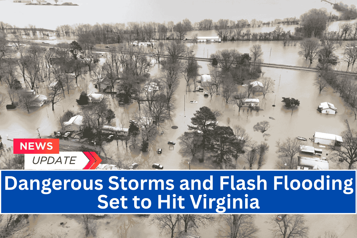
Richmond, Va. – A weather alert has been issued for central and eastern Virginia, with localized flash flooding and damaging wind gusts expected today and continuing through Tuesday. Storms are forecast to affect areas along and west of the I-95 corridor, particularly the Piedmont region.
Storm Timeline and Risks
The National Weather Service in Wakefield has warned that scattered showers and thunderstorms will develop by early Sunday afternoon and continue into the evening.
The Marginal to Slight Risk for excessive rainfall is in effect today and Monday, with localized rainfall rates potentially overwhelming drainage systems. Isolated severe storms may also bring wind gusts of 40–60 mph, which could cause damage.
Key areas under the highest threat include Richmond, Farmville, South Hill, and Louisa for Sunday. On Monday, the risk zone expands to include the I-95 corridor and Northern Neck, where strong downpours could lead to flash flooding, especially in low-lying or poorly drained areas.
Though widespread severe storms are not expected, any isolated cell could rapidly intensify and become dangerous.
Safety Precautions
Residents are urged to take precautions, including avoiding driving through flooded roads, securing outdoor items ahead of gusty winds, and closely monitoring local alerts from emergency managers. Power outages and travel delays are possible in affected areas due to storm activity.
Forecast for the Coming Days
The storm threat will slightly ease by Tuesday, though scattered thunderstorms remain possible across the region. Additional advisories may be issued if storm activity intensifies.
Key Weather Alerts
Sunday and Monday: Flash flood risk and severe wind gusts, especially in the Piedmont region and along the I-95 corridor.
Tuesday: Scattered thunderstorms remain possible, with a slight easing of the overall risk.


