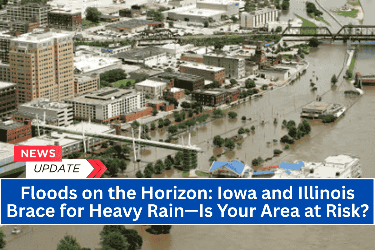
Eastern Iowa and western Illinois are bracing for potential flooding as heavy rain is set to hit the region tonight, with a Flood Watch in effect for more than 25 counties, including the Quad Cities and Galesburg.
Rising rivers and flooded streets could disrupt travel and daily routines across the area as storms continue to dump excessive rainfall on already saturated ground.
Flood Watch Issued for Multiple Counties
The National Weather Service (NWS) in Lincoln and the Quad Cities has warned that multiple rounds of thunderstorms will bring heavy rain, with the greatest risk of flooding occurring from Friday afternoon through late tonight.
The Flood Watch covers counties in eastern Iowa, including Dubuque, Johnson, Muscatine, and Clinton, as well as west-central Illinois counties like Knox, Marshall, and Rock Island.
Flooding Risks and Travel Disruptions
Residents in Davenport, Iowa City, Moline, and Galesburg are urged to prepare for rapid rises in creeks and streams, potential road closures in low-lying areas, and possible basement flooding, particularly in places with poor drainage systems.
Local and state emergency managers recommend avoiding travel on water-covered roads, keeping cell phones charged, and being ready to move to higher ground if flood warnings are issued. River flooding and urban flash floods could cause significant delays for emergency services and stranding vehicles in water.
Ongoing Storms and Additional Advisories Possible
Tonight’s storms will be the second set of back-to-back rain bands hitting the area this week, causing river levels to approach spring flood stage in some places. The situation remains dynamic, and further advisories may be issued if additional storms develop over the weekend.
The current Flood Watch is in effect through midnight, but residents should remain alert for possible upgrades to Flood Warnings.


