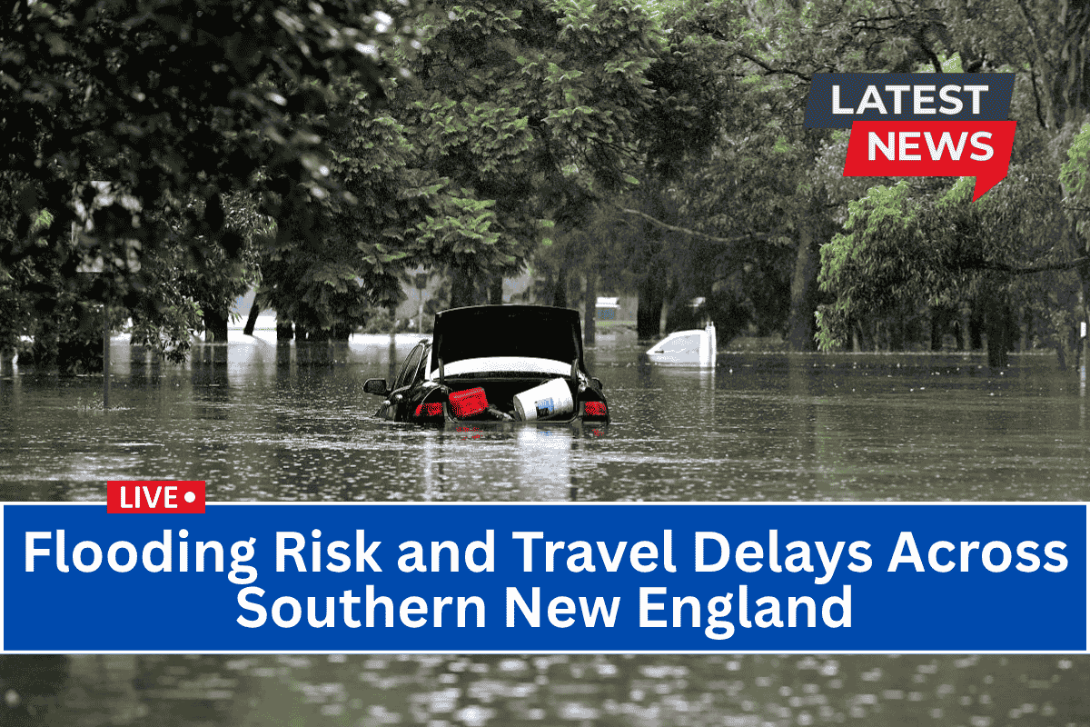
Southern New England is facing significant rain this morning, which may lead to flooding and travel disruptions, especially in low-lying areas.
From Connecticut to Rhode Island, up to 4 inches of rain are expected, making conditions hazardous for commuters. Drivers should be extra cautious on the roads today.
Flood Watch Issued for Southern New England
The National Weather Service in Boston has issued a Flood Watch for much of Massachusetts, northern Connecticut, and all of Rhode Island until 2 p.m. Thursday.
This means the heavy rain could overwhelm storm drains, particularly during the morning hours, causing flooding in urban areas like Boston, Providence, and Worcester. It’s important for residents and travelers in these regions to stay alert and be ready for changing conditions.
Cities at High Risk for Flash Flooding
Certain cities are at a higher risk for flash flooding today, including Lowell, Fall River, Brockton, and New Bedford. These areas, particularly around major roads like I-95, I-195, and Route 1, could see dangerous flooding quickly.
Additionally, cities in Rhode Island, such as Warwick, Coventry, and Newport, may experience flooding, especially in places with poor drainage. Local rivers and creeks could rise rapidly, making it important to stay clear of these areas.
Safety Tips for Drivers and Residents
If you’re in the affected areas, here are a few things to keep in mind:
Avoid driving on flooded roads or low-water crossings. Even a small amount of water can be dangerous.
If you can, clear storm drains near your property to help prevent water from pooling and causing localized flooding.
Stay updated on weather conditions and alerts, as the situation can change quickly.
What to Expect Next
While the heaviest rain is expected to ease off by late afternoon, the Flood Watch will remain in effect until 2 p.m. If conditions worsen, additional Flood Warnings could be issued. It’s crucial to be prepared and stay informed, especially if you live in flood-prone areas.