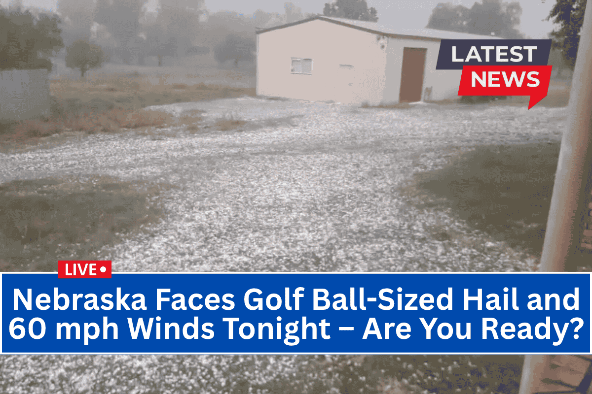
Severe thunderstorms are set to hit western and central Nebraska Sunday evening, bringing the possibility of golf ball-sized hail, 60 mph wind gusts, and heavy rainfall.
The highest risk of severe weather will be between 6 p.m. Sunday and 4 a.m. Monday. Residents in affected areas should be prepared for rapidly changing conditions and potential hazards.
Severe Weather Threat
According to the National Weather Service in Hastings, the region faces a marginal to slight risk of severe weather overnight. The storms are expected to bring damaging hail, localized flooding from heavy rain, and isolated wind damage. Although the tornado risk is low, brief tornado-like spin-ups cannot be ruled out.
The primary concern will be hail, which could cause significant damage to vehicles, roofs, and crops. Additionally, strong wind gusts up to 60 mph could cause tree damage and power outages.
Affected Areas and Travel Hazards
The storm’s impact will be most severe west of Highway 281, including cities such as Kearney, Lexington, and McCook. Road travel could become hazardous during the storms, especially with the risk of hail and heavy rain.
Communities along and west of U.S. 281—such as Holdrege, Broken Bow, and North Platte—are also at risk. Drivers should be prepared for dangerous conditions, including poor visibility and slick roads, particularly during the nighttime hours.
Safety Precautions
Residents in the affected areas are urged to take necessary precautions before the storms hit. Secure outdoor items that could be blown away in strong winds, and avoid any unnecessary travel during peak storm hours.
Stay updated by monitoring local weather alerts and make sure to have flashlights, batteries, and emergency supplies on hand in case of power outages. If you hear thunder or see lightning, seek shelter indoors immediately.
Additional Storm Risk on Monday
A second round of severe storms is expected to develop Monday evening with an enhanced risk of severe weather. This could bring more hail, strong winds, and the potential for further flooding. As the situation evolves, additional weather advisories may be issued to keep the public informed and safe.
In conclusion, Nebraska residents should prepare for severe storms Sunday evening, with the highest risk between 6 p.m. and 4 a.m. Monday. Stay weather-aware, take precautions, and avoid unnecessary travel during the storm.


