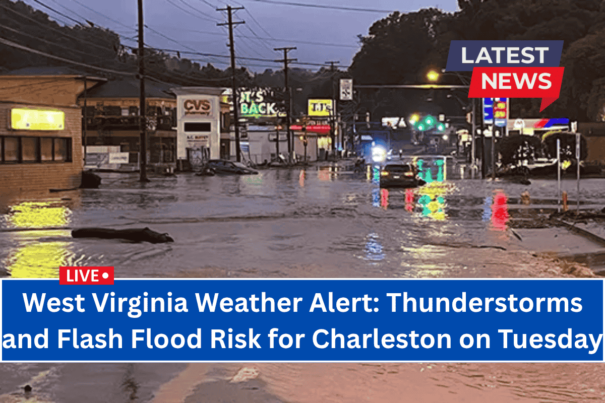
Charleston, West Virginia – Flash flooding and dangerous driving conditions are expected to impact Charleston on Tuesday afternoon and evening as slow-moving thunderstorms sweep across the region.
The National Weather Service in Charleston has issued a warning for heavy rain and the potential for localized flooding throughout the day.
Storm Timing and Impact
The worst of the storms will develop after 2 p.m., bringing rainfall amounts of up to 0.75 inches in some areas, especially where the storms persist. Interstate 64 and Route 119 may see standing water, reduced visibility, and hazardous driving conditions through Tuesday night.
The greatest concerns are poor drainage flooding and minor stream rises across Charleston, Huntington, and surrounding Kanawha and Putnam counties.
Residents are urged to stay alert for updates from the WV Division of Highways and the NWS Charleston, and avoid driving on flooded roads if possible.
Midweek Weather: Clearing Skies
The stormy conditions will subside by Wednesday, with clearer skies and a high near 86°F. Expect patchy fog early in the day, but the rest of the day will bring sunshine and calmer weather. This will set the stage for a warm July 4th holiday weekend.
July 4th Weekend Outlook
Here’s what to expect for the rest of the week:
Wednesday, July 2: Patchy fog early, then sunny. High near 86°F.
Thursday, July 3: Sunny, high near 88°F.
Friday, July 4 (Independence Day): Sunny and hot, with highs reaching 90°F—perfect for outdoor activities.
Saturday, July 5: Mostly sunny and hot, high near 94°F. Be sure to stay hydrated during outdoor events.
Sunday, July 6: Sunny with continued heat. High near 94°F, low around 71°F.
With the weather clearing up after Tuesday’s storms, the July 4th weekend looks to be sunny and warm, ideal for all your holiday celebrations.


