Buffalo, NY – Storms are expected to move into Buffalo by Wednesday night, potentially disrupting evening travel across western New York and impacting pre-holiday plans.
The National Weather Service reports that while Tuesday will bring cloudy skies and patchy morning fog, the real threat for storms arrives overnight.
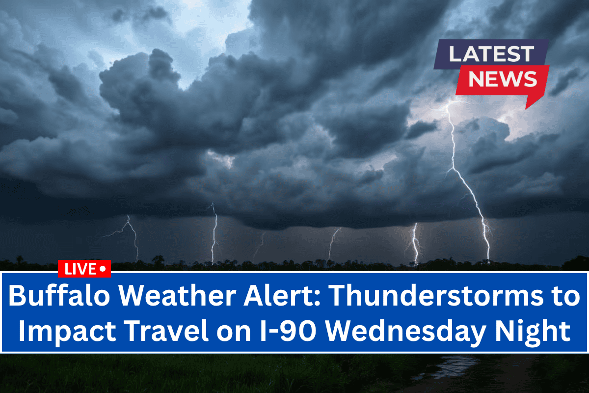
Wednesday Night: Thunderstorms May Impact Travel
On Wednesday, the weather will start off sunny, with temperatures reaching a high near 79°F. However, storms are expected to develop late in the evening, with the greatest chance of thunderstorms occurring between 2 a.m. and 8 a.m. Thursday.
Southwest winds and a low near 65°F will help fuel the scattered thunderstorms overnight, which could make driving on I-90 and Route 33 hazardous due to slick pavement and sudden downpours.
Thursday: Storms Clearing, Sunny Conditions Ahead
Thursday will start with lingering morning showers or thunderstorms, but the storm activity should taper off by mid-morning, giving way to partial sunshine and a high near 78°F. The day will remain warm but more comfortable for outdoor activities as the stormy weather clears.
July 4th Weekend Outlook
The July 4th weekend looks promising for outdoor celebrations, with sunny and mild conditions:
Wednesday, July 2: Sunny, high near 79°F with storms developing after 2 a.m.
Thursday, July 3: Morning storms, clearing by afternoon, high 78°F.
Friday, July 4 (Independence Day): Partly cloudy, high 84°F—perfect for outdoor events and fireworks.
Saturday, July 5: Mostly sunny, high 84°F.
Sunday, July 6: Showers possible late, high 86°F, with a 30% chance of evening rain.
Overall, the July 4th weekend looks great, but be prepared for a late rain chance on Sunday evening.


