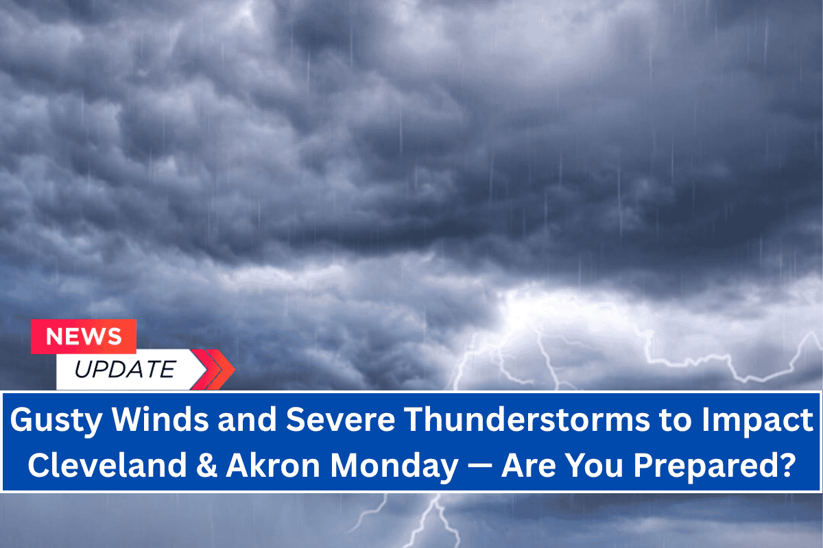
Cleveland, Ohio — Strong thunderstorms are expected to affect Northern Ohio and Northwest Pennsylvania starting Monday afternoon and continuing through late Monday night, with the potential for isolated damaging wind gusts.
The National Weather Service in Cleveland has issued a marginal risk for severe weather for cities including Cleveland, Akron, Youngstown, Toledo, and Erie.
Key Weather Highlights
Storm Timing: The threat for severe weather will be active from mid-afternoon Monday, June 30, through the overnight hours, with storms gradually diminishing by early Tuesday.
Wind Gusts: Some stronger cells could bring wind gusts exceeding 40 mph, with the possibility of brief power outages in localized areas.
Potential Hazards: The storms may produce brief downpours, lightning, and sudden wind shifts that could disrupt travel and outdoor activities.
Affected Areas
Ohio: Mahoning, Trumbull, Ashtabula, and Lake counties.
Pennsylvania: Crawford and Erie counties.
Safety Tips
Monitor conditions closely, especially during the evening commute, as storms may intensify and affect visibility.
Secure outdoor objects that could be blown away in the wind.
Delay travel during peak storm hours, particularly on the I-90 and I-76 corridors.
Stay prepared: Keep your phone charged and ensure weather alerts are activated.
Extended Forecast
Storm Activity: The storms should taper off by early Tuesday, but additional watches may be issued if the storm intensity increases.
Stay alert and stay safe as severe weather moves through the region.


