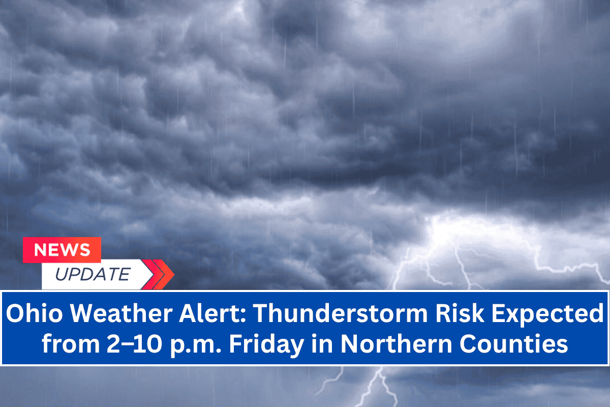
Cleveland, Ohio – Strong thunderstorms are expected to sweep across Northern Ohio on Friday afternoon, bringing damaging wind gusts, lightning, and heavy rain from 2 p.m. to 10 p.m. The greatest risk will be along and east of I-71.
Thunderstorm Timing and Areas Affected
The National Weather Service in Cleveland reports high confidence that thunderstorms will develop in northeast Ohio counties such as Cuyahoga, Lake, and Summit beginning in the early afternoon.
The storms will push westward toward the Toledo area after 5 p.m. While the storm coverage and intensity should lessen later in the evening, some storms could become severe, with brief heavy rainfall and strong winds.
Heat and Storm Risks
Before the storms arrive, cities like Cleveland, Akron, Elyria, and Youngstown will experience high heat index values between 95–98°F. This, combined with high humidity and temperatures in the low 90s, will increase the risk of heat-related illness.
Safety Tips for Drivers and Residents
Drivers are urged to stay weather-aware as visibility could quickly drop during heavier rain. Residents in mobile homes or attending outdoor events should make shelter plans in advance.
Storms Expected to Weaken by 10 p.m.
The storms are expected to weaken by 10 p.m., but further updates may be provided if the storms become more intense than expected.


