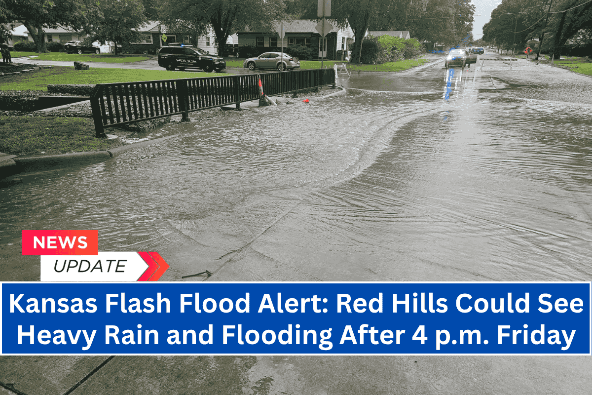
Dodge City, Kansas – Localized flash flooding could affect parts of south-central Kansas on Friday afternoon as thunderstorms form over the Red Hills region, starting after 4 p.m. CDT.
According to the National Weather Service in Dodge City, the Weather Prediction Center has issued a marginal risk for excessive rainfall.
The areas of greatest concern are Comanche, Barber, and Clark counties, where slow-moving storms could bring enough rain in a short period to cause flash flooding, especially in low-lying or poorly drained areas.
Stay Weather-Aware
Residents of Medicine Lodge, Coldwater, and Ashland are advised to stay weather-aware and have several ways to receive emergency alerts. While there is a low risk of tornadoes and hail, flooding remains a slight risk—especially near creeks, dry stream beds, and roads prone to water accumulation.
Safety Tips for Drivers
Drivers should avoid flooded roadways and be ready for rapid water rises during downpours. The storms could also reduce visibility and slow down travel along U.S. Highway 160 and nearby rural routes.
The rain threat is expected to ease up by Friday night, but there could be more updates if the storms get stronger or if storms form in repeated waves.


