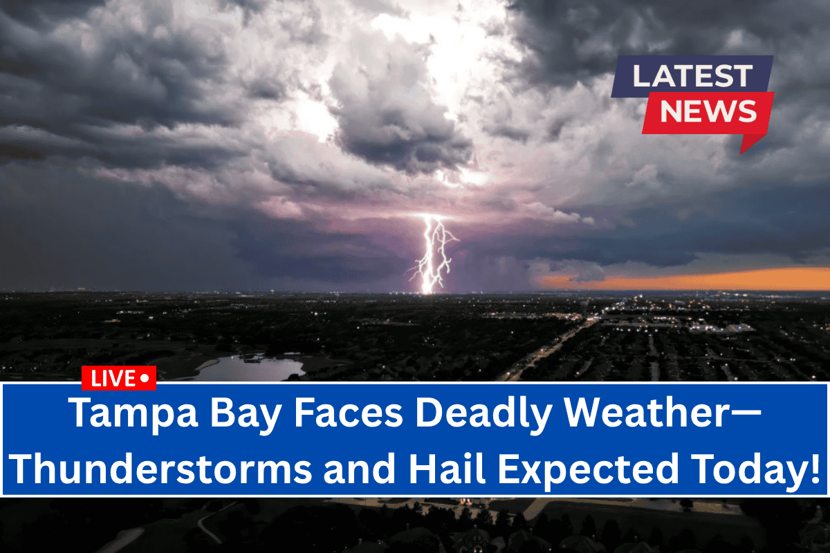
Tampa, Florida – Severe thunderstorms are expected to affect west-central and southwest Florida on Wednesday afternoon, bringing gusty winds, dangerous lightning, and the possibility of hail up to one inch in diameter.
Thunderstorm Risk in Tampa Bay
According to the National Weather Service in Tampa Bay, there is a Marginal Risk (Level 1 of 5) for severe thunderstorms from 3 p.m. to 10 p.m. on Wednesday.
The area impacted includes cities from Brooksville to Naples, with the main risks being damaging winds of over 40 mph, frequent lightning, and isolated hail events.
Cities Affected
- Tampa
- St. Petersburg
- Sarasota
- Fort Myers
- Cape Coral
These cities could experience rapid-moving storms during the evening commute, potentially causing downed tree limbs and power outages. Motorists are advised to avoid flooded streets and remain alert for sudden gusts.
Safety Recommendations
- Move outdoor plans indoors by mid-afternoon, especially along storm-prone corridors like I-75 and U.S. 41.
- Be aware that storms could intensify quickly, prompting local warnings.
- While this is part of Florida’s usual summer pattern, there’s an increased risk of severe wind damage and hail larger than quarters.
When Will the Storms End?
The threat of severe weather will diminish after 10 p.m., though scattered storms may continue later in the week.


