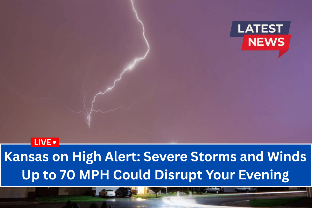
Manhattan, Kan. – Evening plans in northeast Kansas could be disrupted as severe thunderstorms capable of producing wind gusts up to 70 mph sweep through the region.
A Severe Thunderstorm Watch is in effect until 10 p.m. Monday, with the National Weather Service Storm Prediction Center warning of scattered strong to severe thunderstorms.
Storm Details and Hazards
The storms are expected to develop across areas from Manhattan to St. Joseph, with the main hazards being damaging winds and isolated hail up to 1 inch in diameter.
Residents in counties such as Riley, Brown, Jackson, and Doniphan are urged to monitor conditions closely, as the strongest storms may cause power outages, snap tree limbs, and make travel hazardous, particularly along US-36 and Highway 75.
What You Need to Do
- Secure outdoor objects: Strong winds could blow around unsecured items. Bring in or secure anything that could be tossed by the wind.
- Stay indoors during severe weather warnings to protect yourself from possible flying debris and wind damage.
- Monitor updates: Keep an eye on weather alerts and warnings from local authorities, as conditions may change quickly.
Severe Weather Threats
While tornadoes are not expected, some of the storms could produce wind damage similar to what might be seen with a tornado. The Severe Thunderstorm Watch covers an area approximately 70 miles east and west of a line from northwest of St. Joseph, Missouri, to south of Manhattan, Kansas.
When Will Conditions Improve?
The severe weather is expected to taper off after 10 p.m., but residents should remain alert as updates and additional warnings may be issued throughout the evening.


