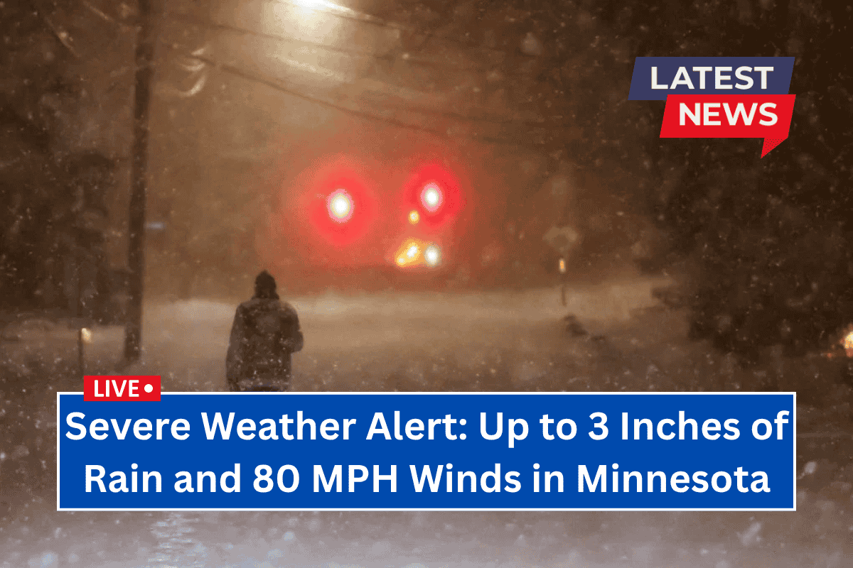
Northern Minnesota is bracing for severe thunderstorms that are expected to bring dangerous winds, heavy rain, and the possibility of tornadoes overnight into Saturday morning.
Areas such as Duluth, Hibbing, and Brainerd are at risk, with winds reaching up to 80 mph and up to 3 inches of rain expected in some locations.
Thunderstorms to Hit Late Friday
The National Weather Service in Duluth warns that thunderstorms will start developing between 9 and 10 p.m. Friday, lasting until 6 to 8 a.m. Saturday. The storms are expected to be particularly strong in the Douglas County, South Shore, and Arrowhead regions.
While widespread damaging winds of 60 mph are likely, some areas may experience gusts as strong as 80 mph. Large hail—up to 2 inches in diameter—could fall across much of the region, and brief tornadoes may form, especially in the Walker-to-Brainerd corridor.
Flash Flooding Risk
Flash flooding is a major concern with these storms, particularly in areas that have already seen heavy rainfall earlier this week. The Iron Range and South Shore could see up to 3 inches of rain, leading to a heightened risk of flooding. Communities like Ely and other areas along the Iron Range are especially vulnerable.
Safety Precautions
Residents are urged to take the following precautions to stay safe during the storm:
- Secure outdoor items to prevent damage from high winds
- Avoid driving through flooded roads
- Prepare for potential power outages
- Stay updated on the storm’s progress, as timing and severity may change
The severe weather in northern Minnesota is expected to be intense, and residents should be prepared for potentially hazardous conditions. Stay informed for updates as the storm approaches and take steps to protect yourself and your property.


