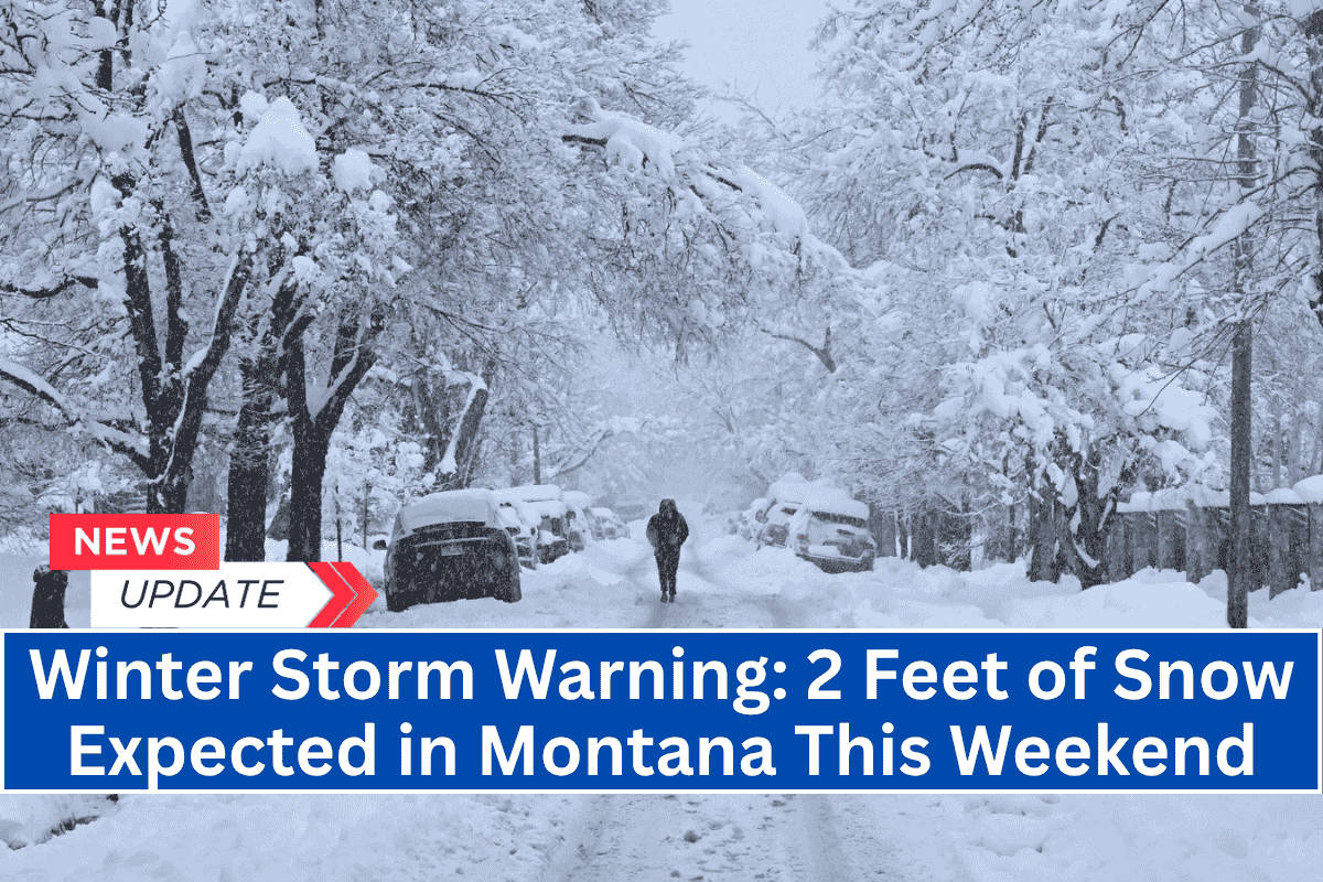
Missoula, MT – A powerful winter storm is set to hit northwest Montana this weekend, with up to two feet of snow expected in some areas.
Glacier National Park and surrounding high-elevation areas are bracing for a rare late-June snowstorm, with dangerous travel conditions likely to persist through Sunday.
Winter Storm Warning in Effect
The National Weather Service in Missoula and Great Falls has issued a Winter Storm Warning for areas above 5,000 feet from 9 a.m. Saturday through noon Sunday.
Snowfall totals are expected to range from 18 to 24 inches above 6,000 feet, impacting locations such as Logan Pass, Marias Pass, and sections of Going-to-the-Sun Road. Lower elevations down to 5,000 feet could also see significant snow, though in smaller amounts.
Hazardous Travel and Road Closures
Travel through affected areas could be hazardous due to heavy snow, falling trees, and gusty winds reaching up to 45 mph. Roads including Highway 49 and Highway 89 near Kiowa and East Glacier Park may experience closures as conditions worsen.
Officials are warning of difficult or potentially impossible travel, downed power lines, and the possibility of power outages through Sunday.
Safety Precautions and Travel Advice
Authorities are urging drivers to avoid mountain travel during the storm and to carry emergency supplies, including extra food, water, and blankets, in case of delays.
It’s also crucial to check Montana’s 511 road report for real-time updates on road conditions. In Glacier National Park, park officials may restrict access to popular areas depending on conditions.
Storm Timeline and Updates
Snow is expected to begin on Saturday morning, with the storm gradually tapering off by midday Sunday. However, additional warnings or updates may be issued if the storm intensifies, so residents and travelers are encouraged to stay informed.


