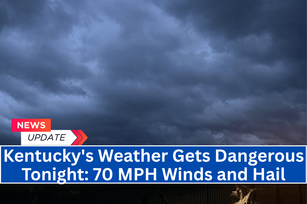
Louisville, Ky. – Kentucky is bracing for strong to severe thunderstorms expected to hit late Wednesday afternoon and continue into the night. The storms bring the potential for damaging winds, heavy rainfall, and possibly even hail.
Severe Storms Expected Late Afternoon to Midnight
According to the National Weather Service in Louisville, a cold front moving through the region is likely to trigger storms with wind gusts exceeding 60 mph and possible localized flooding.
The highest risk for severe weather is expected between 5 p.m. and midnight, particularly along and north of the I-64 corridor. A Severe Thunderstorm Watch may be issued later this evening, so residents should stay alert.
Areas at Risk
Jefferson, Oldham, and Shelby counties are expected to face the highest risks, including power outages and dangerous travel conditions. The storms could also bring frequent lightning and brief, heavy downpours, potentially disrupting evening commutes and outdoor activities.
Though the severe storms are forecast to weaken by Thursday, scattered showers and thunderstorms will continue, though at a lesser intensity.
Safety Precautions
Residents are advised to avoid flooded roads, secure loose outdoor items, and charge mobile devices in case of power outages. It’s crucial to stay updated on storm developments by monitoring NOAA Weather Radio or local weather alerts.
Improving Weather by Friday
By Friday, conditions are expected to improve, with sunshine returning and temperatures rising into the upper 80s and low 90s. The heat index is forecast to reach the mid-90s by Saturday, so be prepared for hot weather as the stormy conditions pass.


