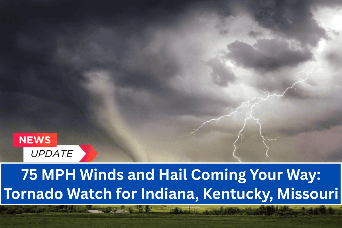
Evansville, Indiana – A Tornado Watch is in effect until 8 p.m. CDT Wednesday across parts of southern Illinois, southern Indiana, western Kentucky, and southeast Missouri.
Fast-developing storms in these areas are expected to bring damaging winds, large hail, and the possibility of isolated tornadoes.
Storms Intensify Across the Region
According to the National Weather Service Storm Prediction Center, storms are expected to intensify along a boundary stretching from near Fort Campbell, Kentucky, to northeast of Evansville, Indiana.
These storms could produce wind gusts up to 75 mph and hail as large as 2 inches in diameter, particularly during the late afternoon and early evening hours.
Areas at High Risk
In Indiana, residents from Evansville to Jasper should stay weather-aware as the storm line moves eastward. In western Kentucky, communities like Paducah and Hopkinsville may experience severe winds and possible power outages.
In southern Illinois, cities such as Marion and Carbondale are also in the path of the storms, with wind gusts threatening travel on I-57 and I-24. Southeast Missouri towns like Poplar Bluff and Sikeston should prepare for rapidly developing storms as well.
Safety Precautions
Residents in the affected areas are urged to:
- Charge phones and other devices in case of power outages.
- Secure outdoor objects that could become dangerous projectiles in high winds.
- Avoid travel during severe storm warnings, especially in areas prone to tornado development.
Tornadoes can form quickly in these conditions, so local emergency agencies advise staying tuned for updates and taking shelter if necessary.
Watch Remains in Effect
As storms continue to evolve throughout the evening, additional warnings may be issued. Stay informed through local weather alerts and be prepared for rapidly changing conditions.


