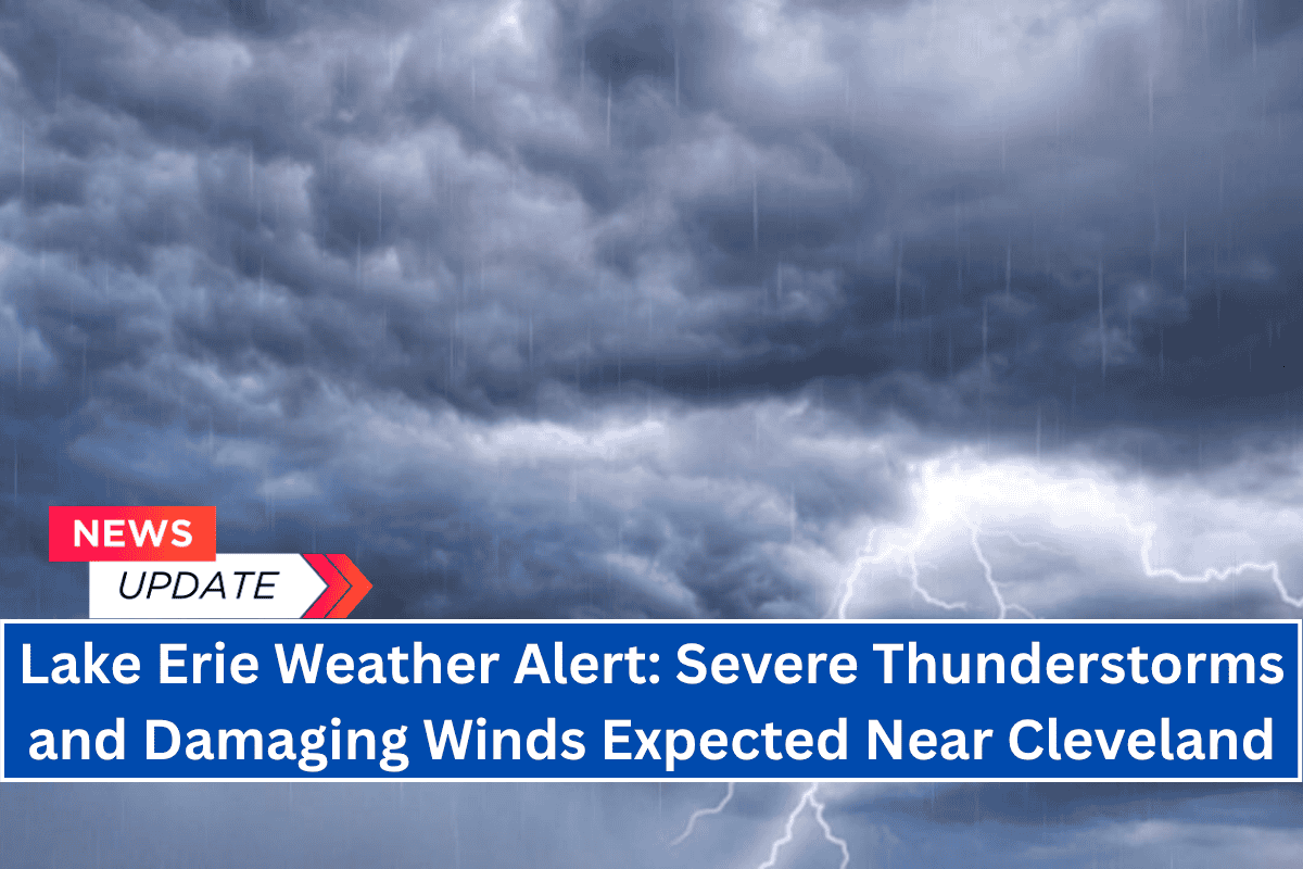
Cleveland, Ohio, is under a weather alert as severe thunderstorms are expected to impact the area on Wednesday afternoon and evening.
With a Level 2 (out of 5) risk of severe weather across much of northeast Ohio, residents should be prepared for potential damaging winds, large hail, and localized flooding.
Thunderstorms and Damaging Winds Expected
According to the National Weather Service, thunderstorms will begin developing Wednesday, primarily affecting northern and central Ohio.
The main threat from these storms will be damaging winds, which could lead to power outages, downed trees, and scattered debris. Localized heavy rainfall is also expected, which may cause minor flooding, particularly in low-lying areas and urban regions like Cleveland.
Motorists traveling along Interstate 90 and other major roads in Cuyahoga County should exercise caution during sudden downpours. Stay updated on potential road closures and avoid traveling if possible during severe weather.
It’s also a good idea to secure any loose outdoor items before the storms arrive to prevent them from being damaged or blown away by strong winds.
Heatwave Approaching for the Weekend
While thunderstorms are the main concern for today, a significant heatwave will begin to build across the Ohio Valley later this week. High pressure will dominate, pushing afternoon temperatures into the upper 90s by the weekend.
By Sunday and Monday, heat indices could soar to 100 to 103 degrees, potentially setting new record highs.
Residents are advised to stay hydrated, limit outdoor activity during peak heat, and seek air-conditioned spaces whenever possible. It’s important to check on vulnerable neighbors, especially the elderly, during the upcoming heatwave.
Five-Day Weather Forecast for Cleveland
Here’s a look at the weather forecast for Cleveland over the next five days:
- Wednesday, June 18: Thunderstorms likely, with a high of 86°F.
- Thursday, June 19: Partly sunny, with a high of 81°F.
- Friday, June 20: Sunny, with a high of 91°F.
- Saturday, June 21: Partly sunny, with a high of 96°F.
- Sunday, June 22: Mostly clear, with a high of 99°F.
- Monday, June 23: Mostly clear, with a high of 100°F.
Preparing for Severe Weather and Extreme Heat
Residents of Cleveland and surrounding areas should be prepared for both severe weather and extreme heat. Here are a few tips to stay safe:
- Before the Storms: Secure any loose outdoor items, stay updated on local weather alerts, and avoid travel during heavy downpours if possible.
- During the Storms: Stay indoors and away from windows during severe weather, especially if you hear thunder or see lightning. Keep an emergency kit with essentials like water, snacks, flashlights, and a battery-powered radio.
- During the Heatwave: Drink plenty of water, avoid strenuous outdoor activities, and take breaks in air-conditioned environments. Check on elderly neighbors and family members to ensure their safety.


