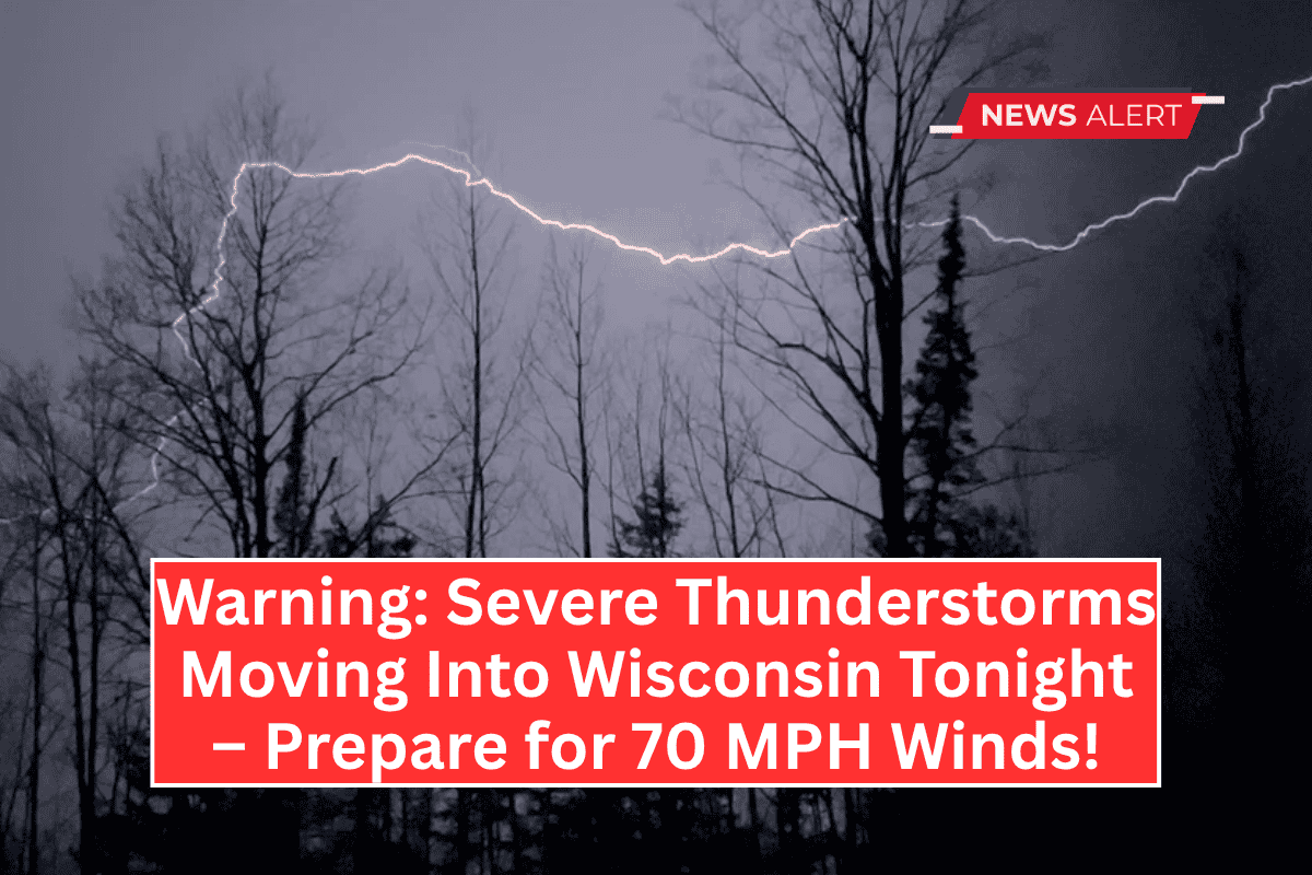
La Crosse, WI – A severe thunderstorm threat is expected to affect western Wisconsin and neighboring regions tonight, with storms starting around 6 p.m. and lasting until midnight.
Residents are being urged to stay weather aware as a broken line of thunderstorms moves southeast from Minnesota, bringing the risk of severe conditions.
Severe Thunderstorm Risk and Threats
The National Weather Service in La Crosse has forecast a 30% chance of these storms becoming severe, particularly in parts of north-central Iowa, southeast Minnesota, and west-central Wisconsin.
The highest risk areas include cities near Rochester and Red Wing, Minnesota, where a Level 3 risk has been issued.
Key threats include:
- Wind gusts up to 70 mph.
- Hail as large as ping-pong balls.
- Localized flash flooding.
- Tornado potential in higher-risk areas.
Storm Activity and Decreased Intensity
While storm intensity has slightly decreased due to earlier weather activity, the storm risk remains significant, especially for evening hours when storms are expected to be at their strongest. Communities across the region are urged to stay prepared and take action if necessary.
Safety Precautions and Alerts
Officials recommend that residents:
- Stay weather aware and monitor local forecasts.
- Have multiple alert methods available, including weather apps or NOAA weather radios.
- Seek shelter indoors during any severe weather, especially if winds increase or hail begins to fall.


