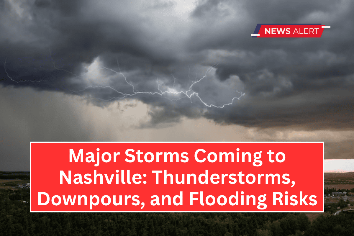
Nashville, TN – A period of unsettled weather is set to disrupt routines across Middle Tennessee, starting this afternoon and continuing through the Juneteenth holiday.
Residents should prepare for scattered thunderstorms Monday, followed by a more intense weather system Tuesday that could bring heavy downpours to the Nashville area, potentially causing delays during the evening commute.
Monday: Thunderstorms and Showers
The National Weather Service reports that the chance for showers and thunderstorms will increase after 4 p.m. Monday, continuing through Tuesday.
While severe weather is not expected, some storms could bring heavy rainfall, resulting in ponding on roads, especially along I-40 and I-65.
Drivers should exercise caution during the commute, particularly on Tuesday afternoon when rainfall is likely to be the heaviest.
Tuesday: Thunderstorms and Downpours
Tuesday brings a 90% chance of showers and thunderstorms, starting after 1 p.m. The high will reach 85°F, with a low of 73°F.
While severe storms are not expected, localized heavy rainfall may create hazardous driving conditions, especially during the evening commute. Be prepared for possible disruptions, and stay updated on weather warnings.
Wednesday: Hot and Thunderstorms Likely
The unsettled weather will continue through the middle of the week. On Wednesday, there’s a 40% chance of thunderstorms, with temperatures reaching a hot 93°F. Residents with outdoor plans should be prepared for possible thunderstorms as the heat continues to build.
Juneteenth: Thunderstorms Likely
For those celebrating Juneteenth on Thursday, thunderstorms are expected, particularly after 1 p.m. The high will be around 88°F, with a low of 70°F. Keep an eye on the skies, as conditions could change quickly.
Weekend Outlook: Sunny and Hot
By Friday, conditions will improve, with patchy fog in the morning followed by mostly clear skies and a high near 92°F. Saturday will be sunny and hot, with a high of 95°F, perfect for outdoor activities.
Five-Day Forecast:
- Tuesday: Showers and thunderstorms likely after 1 p.m. High: 85°F, Low: 73°F.
- Wednesday: Chance of thunderstorms. High: 93°F, Low: 74°F.
- Juneteenth: Thunderstorms likely after 1 p.m. High: 88°F, Low: 70°F.
- Friday: Patchy fog early, then mostly clear. High: 92°F, Low: 72°F.
- Saturday: Mostly clear and sunny. High: 95°F, Low: 75°F.


