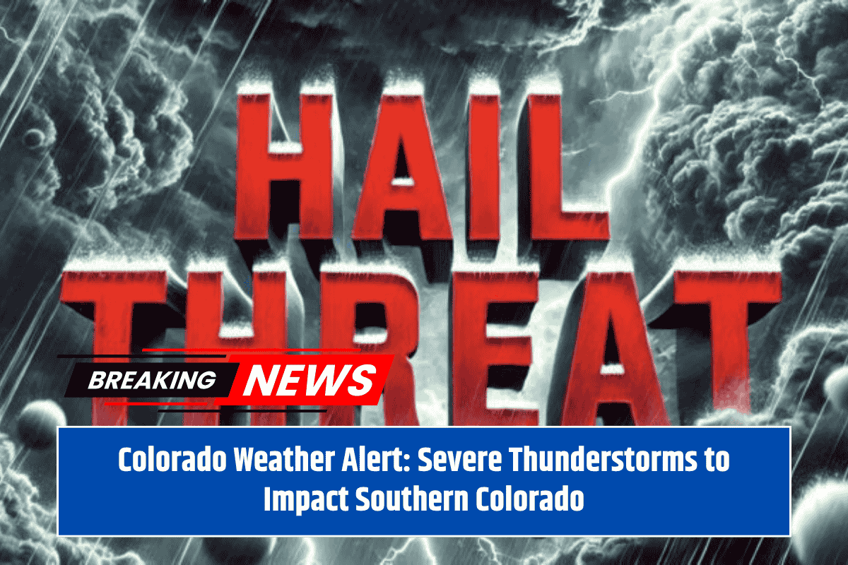
Southern Colorado is bracing for severe thunderstorms this afternoon and evening, with strong winds, large hail, and heavy rainfall expected to affect the I-25 Corridor and San Luis Valley. The storms are forecast to develop over the southern mountains early in the afternoon before moving southeast across the region.
Strong Storms Expected in Key Areas
The National Weather Service in Pueblo has warned that the most intense storms are likely to occur south of Pueblo, impacting areas like Walsenburg, Trinidad, and Alamosa. The southern I-25 Corridor and counties in the southern San Luis Valley are expected to experience hail up to 1 inch, as well as strong outflow winds. Frequent lightning and localized flooding could also occur as storm cells become more intense.
Weather Hazards and Safety Measures
Travelers along I-25 and Highway 160 should be prepared for sudden changes in visibility and hazardous road conditions due to heavy rain and hail. Residents are encouraged to stay alert, postpone outdoor plans, and ensure they have multiple ways to receive emergency alerts. It’s also recommended to keep mobile devices fully charged in case of power outages.
Storms to Subside Later Tonight, but More to Come
The severe storm activity is expected to taper off by late evening, but additional thunderstorms may be possible through the middle of the week. The National Weather Service has stated that more advisories may be issued later today, so it’s important for residents to stay updated on the latest weather information.


