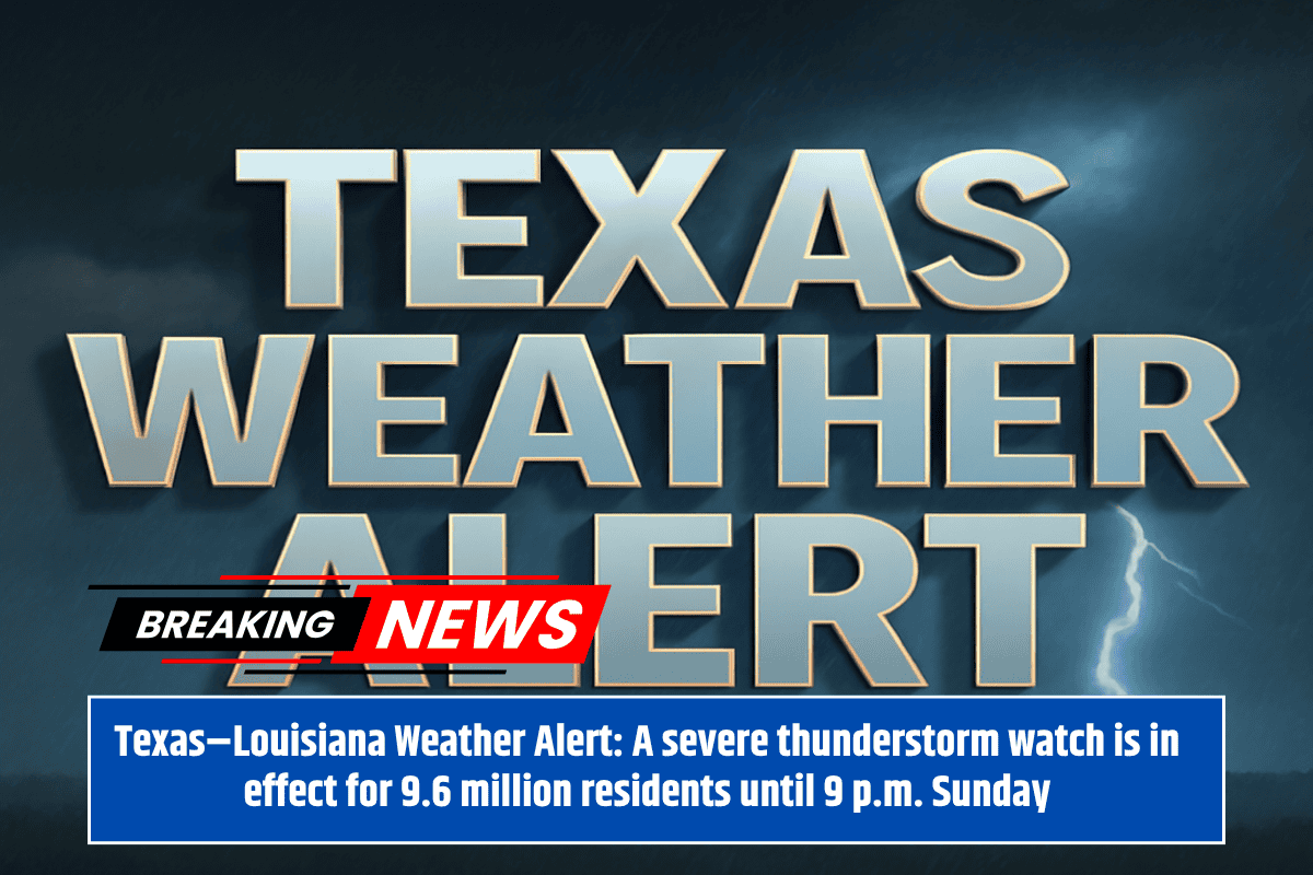
Nearly 10 million people across North Texas and western Louisiana are under a Severe Thunderstorm Watch until 9 p.m. Sunday, as dangerous weather systems move through the region. Residents in cities such as Dallas, Tyler, Sherman, Shreveport, and Lufkin are being warned to prepare for significant storms that could bring damaging winds, large hail, and the potential for tornadoes.
Storm Threats and Areas Affected
The National Weather Service in Shreveport has issued the watch, warning of threats including softball-sized hail, 80 mph wind gusts, and the possibility of a few tornadoes. The most vulnerable areas include counties along the I-20 and I-45 corridors, such as McKinney, Corsicana, Marshall, and Palestine, which are in the highest risk zone.
In addition to these storms, officials warn that another watch could be issued later if a second, stronger line of storms forms. As a result, residents are advised to stay vigilant throughout the evening.
Impact on Communities and Travel Warnings
The storm could significantly impact daily activities in the affected areas, including travel disruptions on major highways and roads. Emergency managers are advising residents to secure outdoor items, avoid unnecessary travel, and seek shelter as storms approach. Public buildings such as schools and hospitals, totaling 2,973 schools and 199 hospitals, are urged to activate severe weather protocols to ensure the safety of staff and students.
Preparing for Severe Weather
As this is one of the most severe weather days of the month, residents are urged to take the threat seriously. Areas that were impacted by last month’s derecho (a widespread windstorm) should prepare for similar wind strength, which could lead to damage and power outages.
Residents should stay indoors during the storms, avoid driving, and keep weather alerts enabled on their mobile devices to stay updated on new warnings or watches.
Ongoing Storm Risks and Updates
Storms are expected to continue after 9 p.m., and new watches could be issued later in the evening. Emergency officials recommend staying weather-aware and monitoring official updates for any changes in the storm’s path.


