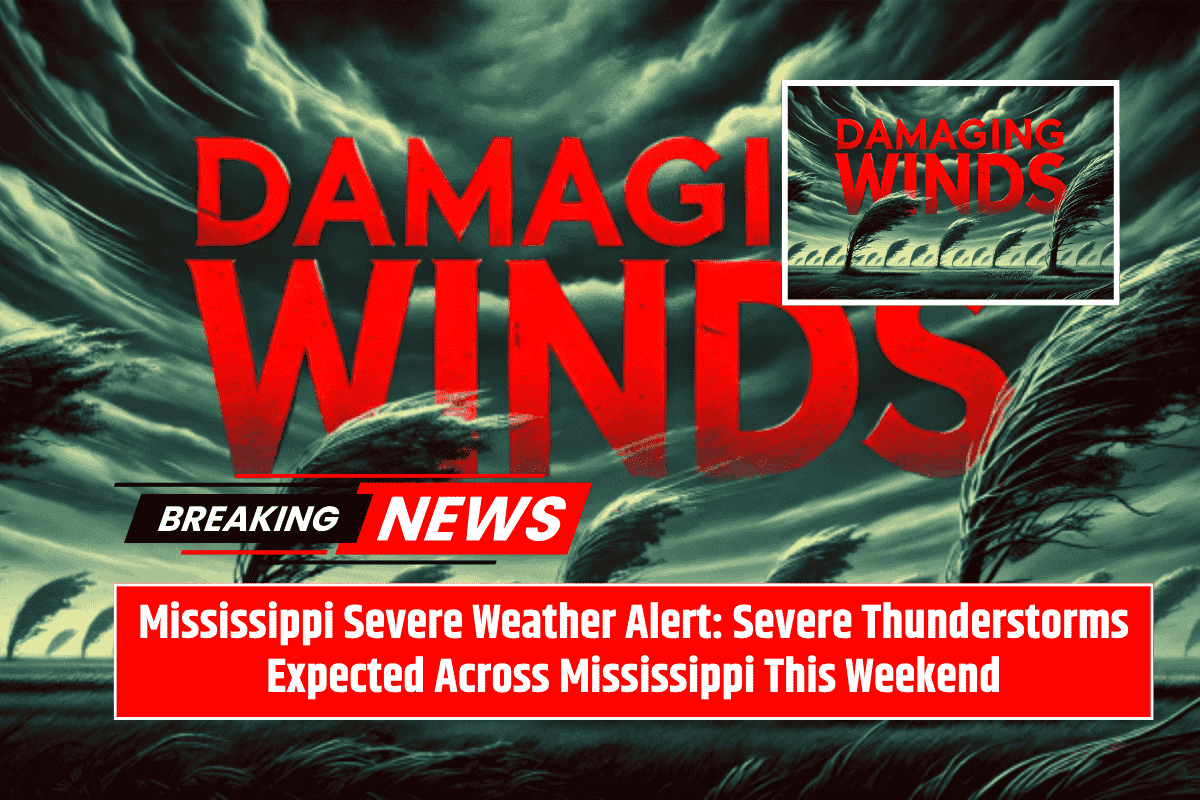
Mississippi is bracing for severe thunderstorms this weekend, with damaging winds, hail, and heavy rain expected from Saturday morning through late Monday. The National Weather Service in Jackson has issued warnings for multiple rounds of storms, which will affect the region from Friday night through Sunday, with the greatest threat on Saturday into Sunday.
Timing and Risks of the Storms
The storms will begin Friday night in northeast Mississippi and gradually intensify through Saturday and Sunday. Areas north of I-20, including Columbus, Tupelo, and Grenada, are under an Enhanced (Level 3) risk, meaning that there is a high potential for severe weather, including damaging wind gusts up to 60 mph and quarter-size hail.
Central and southern parts of the state, including Jackson, Meridian, and Brookhaven, are under a Marginal to Slight Risk. While these areas are less likely to experience severe storms, there will still be the threat of isolated strong storms and heavy rain, which could disrupt travel and outdoor activities over the weekend.
Impact on Mississippi Communities
For the areas under the Enhanced Risk, the storms could be particularly dangerous. The threat of strong winds and large hail means that residents need to be prepared for possible damage to homes and vehicles, as well as the risk of power outages. Central and southern Mississippi will see repeated rounds of heavy rainfall, which could lead to localized flooding in some areas.
Safety Precautions
Residents across Mississippi are urged to stay weather-aware and take necessary precautions. Secure outdoor items that could be blown away by strong winds and avoid unnecessary driving during the storms. It’s important to keep mobile devices charged and have multiple ways to receive weather alerts, such as through a weather app or a NOAA weather radio.
Ongoing Storm Threats
Thunderstorms are expected to continue into Monday, especially in central Mississippi. With the possibility of additional watches or warnings being issued, residents should stay alert and keep monitoring weather updates as conditions develop.


