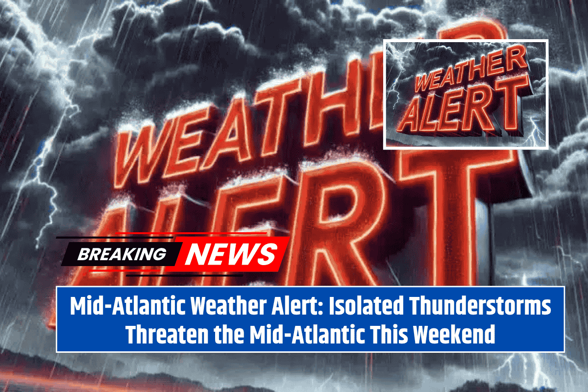
Thunderstorms are expected to disrupt weekend plans across the Mid-Atlantic, with parts of Pennsylvania, New Jersey, and Delaware facing the risk of damaging wind gusts and localized flash flooding through Sunday evening. The National Weather Service in Mount Holly has issued warnings for isolated thunderstorms, which could bring intense weather conditions.
Timing and Risks of the Storms
The region is under a Marginal Risk for severe weather on both Saturday and Sunday, with thunderstorms likely to develop in the afternoon and continue into the evening. Storms may become strong to severe, with wind gusts reaching up to 50 mph and brief but heavy downpours that could overwhelm storm drains and flood low-lying areas. These conditions could disrupt outdoor plans and create hazardous driving conditions.
Affected Communities
Cities and towns at risk include Philadelphia, Wilmington, Trenton, Camden, Allentown, and Atlantic City. The Delmarva Peninsula and southern New Jersey are also in the storm zone. Wind-driven rain in these areas could cause tree damage and result in temporary power outages. Residents are advised to secure outdoor items that could be blown away by strong winds and avoid flooded roads, as driving through these areas could be dangerous.
Storm Activity and Safety Precautions
The greatest storm activity is expected between 2 p.m. and 9 p.m. each day. To stay safe, residents should limit non-essential travel during these hours and have multiple ways to receive weather alerts, such as through a weather app or NOAA radio. It is also important to take steps to prepare for the possibility of power outages and flooding.
Ongoing Updates and Alerts
Additional updates and advisories may be issued as conditions develop through Sunday night. Stay informed about changing weather conditions and follow all official guidance to stay safe during the storms.


