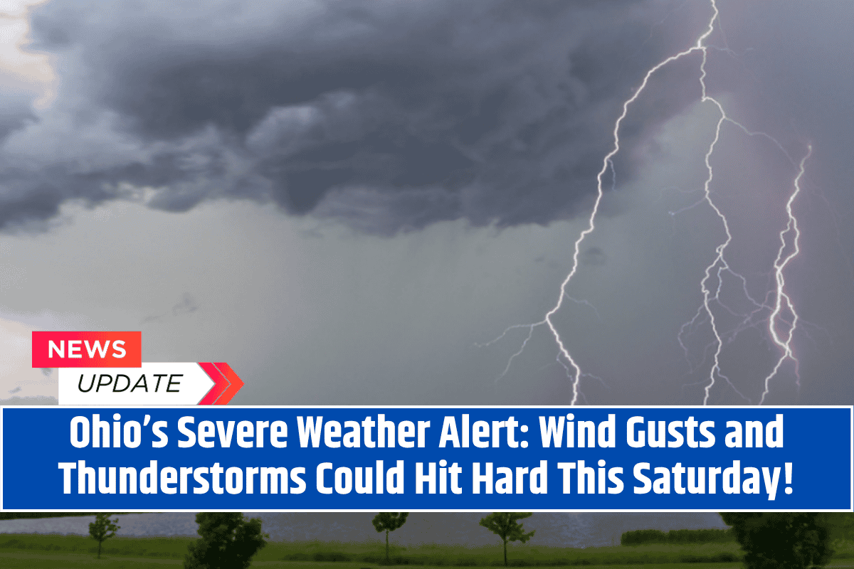
Cleveland, Ohio – Severe thunderstorms with damaging wind gusts and heavy rain are expected to affect much of northern Ohio this Saturday, July 19, according to the National Weather Service (NWS) in Cleveland. The storms will begin in the afternoon and are expected to last into the late night.
Weather Conditions and Risks
A Slight Risk (Level 2 of 5) for severe weather is in effect for cities including Cleveland, Sandusky, Elyria, and Toledo. The primary threats include:
Damaging wind gusts
Localized flooding due to heavy rainfall
Possible hail, particularly during the first round of storms expected by mid-afternoon
Affected Areas
The Slight Risk zone includes north-central and northeast Ohio, with areas such as Mansfield, Ashland, and Lorain being at risk for rapidly developing storms.
While the exact timing is still uncertain, the NWS indicates multiple rounds of storms may move through the region, particularly in the late afternoon and continuing overnight.
Safety Precautions
Residents are urged to:
Secure outdoor items to prevent damage from strong winds
Avoid travel during the peak storm hours
Stay weather-aware and keep an eye on local alerts for updates
Power outages and potential tree damage are expected, as strong wind gusts may down trees and power lines. Campers and those attending outdoor events on Saturday should have a shelter plan in place to stay safe.
Stay Updated
The NWS will continue to provide updates as storm models evolve. For the latest information, tune into NOAA Weather Radio or local weather alerts.


