Spokane, Wash. – High temperatures and gusty winds will sweep through eastern Washington and north Idaho through Tuesday morning, creating risks for power outages, dangerous driving conditions, and heat-related illnesses.
Heat and Wind Advisories in Effect
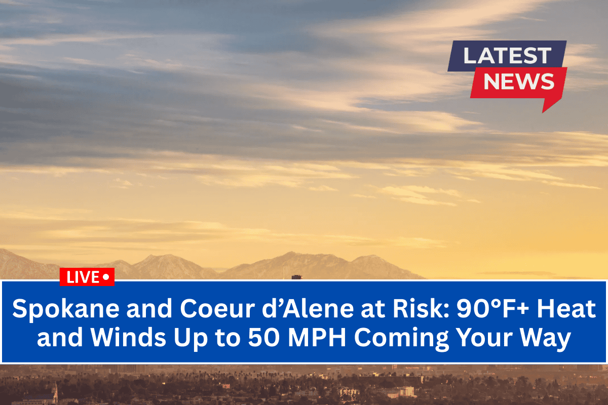
According to the National Weather Service Spokane, a heat advisory remains in effect for Spokane, Coeur d’Alene, Moses Lake, Lewiston, and surrounding cities until 8 p.m. Monday. Temperatures are expected to climb into the lower 90s, with Lewiston reaching close to 100°F.
A wind advisory is also in place for Coeur d’Alene, Post Falls, Worley, and Hayden from 6 p.m. Monday until 11 a.m. Tuesday, as northeast winds of 20-30 mph with gusts up to 50 mph are expected.
Potential Hazards and Safety Tips
Power outages are possible as strong winds may bring down tree limbs and power lines, particularly along I-90, US-2, and rural roads.
Driving conditions could be hazardous, especially for high-profile vehicles, with strong crosswinds expected overnight.
Secure loose outdoor items and avoid parking under trees to prevent damage.
Hydrate frequently and avoid outdoor strenuous activities during peak heat.
Wear lightweight clothing and ensure you are protected from the sun if spending time outdoors.
Check on vulnerable neighbors, especially the elderly or those without air conditioning.
Prepare for Intense Conditions
The heat will continue through Monday night, with winds intensifying during the evening. Further alerts may be issued as new weather systems approach. Stay informed and monitor local weather updates as conditions change.


