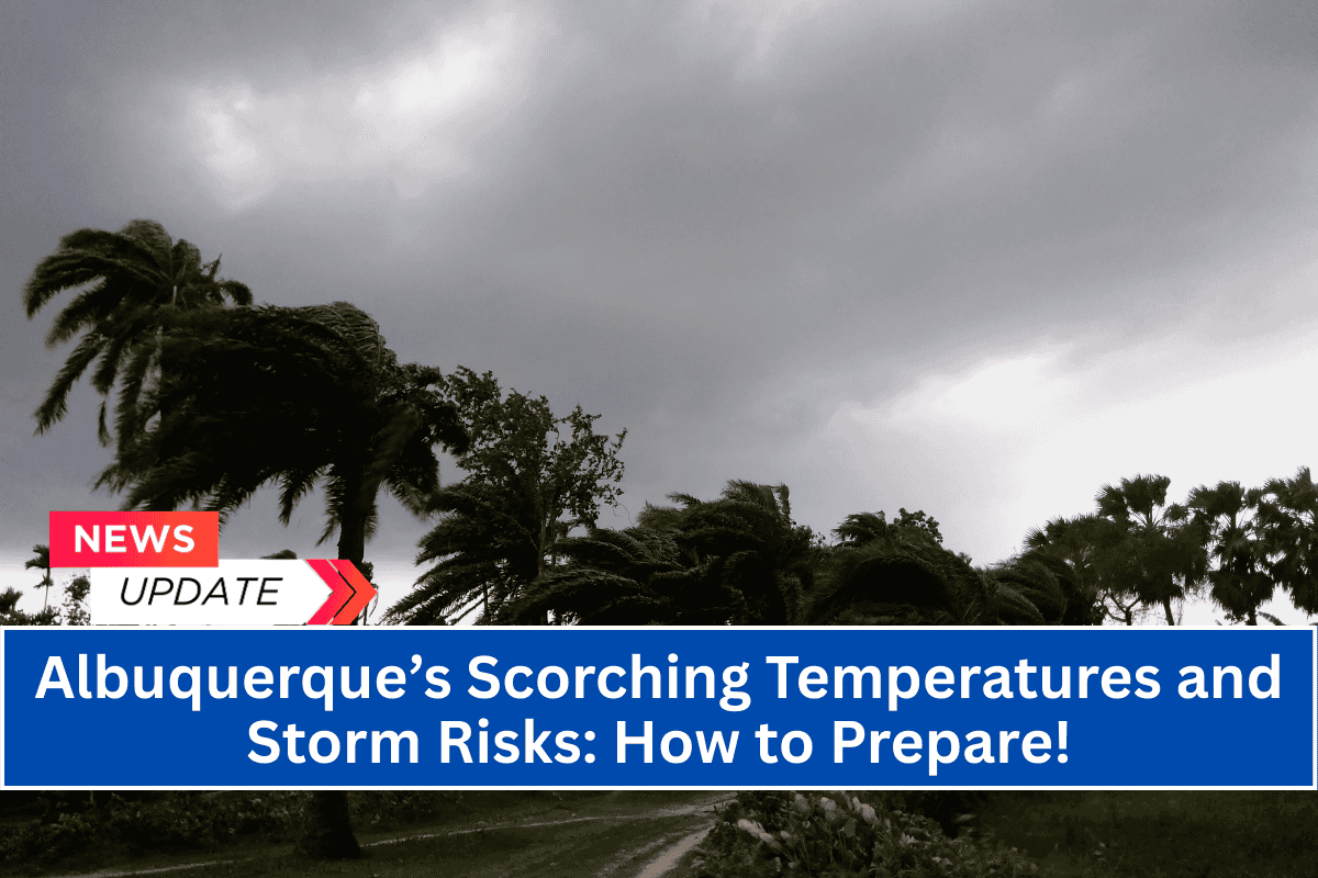
Albuquerque, New Mexico — Summer weather is heating up across the Albuquerque metro, with 94°F temperatures and scattered thunderstorms expected Monday afternoon.
Isolated storms could bring brief downpours and gusty winds to I-25 and surrounding roadways during the late afternoon commute, creating potential travel risks.
Monday Weather Details
The National Weather Service in Albuquerque reports that storms may begin developing after 3 p.m. Monday, with light southeast winds shifting to 10 mph. These thunderstorms could cause localized rain, reducing visibility on highways, and taper off by midnight.
Residents are advised to stay weather-aware and limit outdoor activity during the peak heat of the afternoon, especially as lightning and heavy rain could impact roadways.
Tuesday’s Heat and the Coming Storms
Tuesday will bring even hotter conditions, with temperatures expected to climb to 98°F under mostly sunny skies. Although there’s only a slight storm chance Tuesday night, drier air will dominate through the rest of the week, keeping the heat in full force.
Wednesday will be nearly as hot, with a high of 97°F and just a 20% chance of afternoon storms.
Road Risks and Travel Advisory
If you’re planning to travel on I-40 or I-25 Monday or Thursday, avoid driving during the storm windows when visibility may quickly drop due to heavy rain or gusty winds. The NWS recommends monitoring the skies for lightning and preparing for wet, slick road conditions during storm activity.
Upcoming Weather
A broader monsoon surge is expected later in the week, with a stronger storm system arriving Friday night into Saturday, bringing the potential for rain and thunderstorms. The chance of storms will remain high throughout the weekend, so continue to monitor NWS updates for further weather advisories.
Albuquerque Five-Day Forecast:
Monday (94°F/67°F): Isolated storms after 3 p.m. Partly sunny and hot.
Tuesday (98°F/66°F): Sunny and very warm. Slight evening storm chance.
Wednesday (97°F/65°F): Mostly sunny. Isolated PM thunderstorms.
Thursday (92°F/64°F): 50% chance of storms by evening. Cooler.
Friday (90°F/66°F): Rain and thunder possible. Stay weather-aware.
Summer Storm Risks
Summer storm risks are expected to continue into next weekend, especially with a stronger system arriving Friday night into Saturday. Stay alert for updated advisories and prepare for potential hazards like heavy rain and reduced visibility.


