Burlington, Vermont – Vermont will experience a cooler, drier Tuesday with high temperatures ranging from the upper 70s in the north to the upper 80s in the south.
While cloudy skies will keep temperatures down this morning, sunshine is expected to break through by midday, providing some relief from the cooler morning air. Humidity will rise, particularly in southern regions, where dewpoints will reach the 60s.
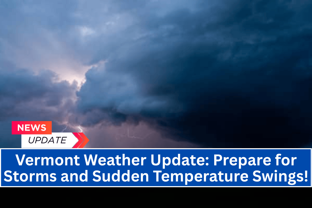
Isolated Thunderstorms and Showers
The National Weather Service in Burlington is warning drivers and outdoor workers to watch out for isolated showers or thunderstorms, especially across southern Vermont later this afternoon.
Areas like Rutland, Brattleboro, and Bennington may experience localized downpours and brief gusty winds by late afternoon, but no widespread severe weather is expected.
Temperature and Weather Forecast
Temperatures in Montpelier and St. Albans are forecasted to reach near 80°F, while Brattleboro and Springfield could see highs approaching the upper 80s. Although the day will remain relatively comfortable, isolated storms may lead to slick roads and reduced visibility, so it’s important to stay prepared if heading outdoors.
What to Expect
If you plan to be outside, be ready for changing skies. Carry water to stay hydrated, check for updates, and move indoors immediately if you hear thunder. The National Weather Service recommends monitoring weather alerts and exercising caution if storms develop.
Cooler and drier air will return tonight, bringing more sunshine and mild weather for Wednesday. However, additional advisories may be issued if storms intensify later in the day.


