Heavy rain and strong storms are affecting central North Carolina today, with the remnants of Tropical Storm Chantal moving through the area. This is bringing a significant risk of flash flooding and isolated tornadoes, which could continue into Sunday night.
Flash Flooding Risk
According to the National Weather Service in Raleigh, heavy rainfall and thunderstorms will continue throughout the evening. The areas most at risk for flash flooding are the Piedmont and regions along or west of US-1. These areas could see multiple rounds of heavy rain, making flash flooding likely.
The risk of flooding is particularly high in places where the drainage systems are not well-equipped to handle large amounts of water quickly.
Tornado Threat
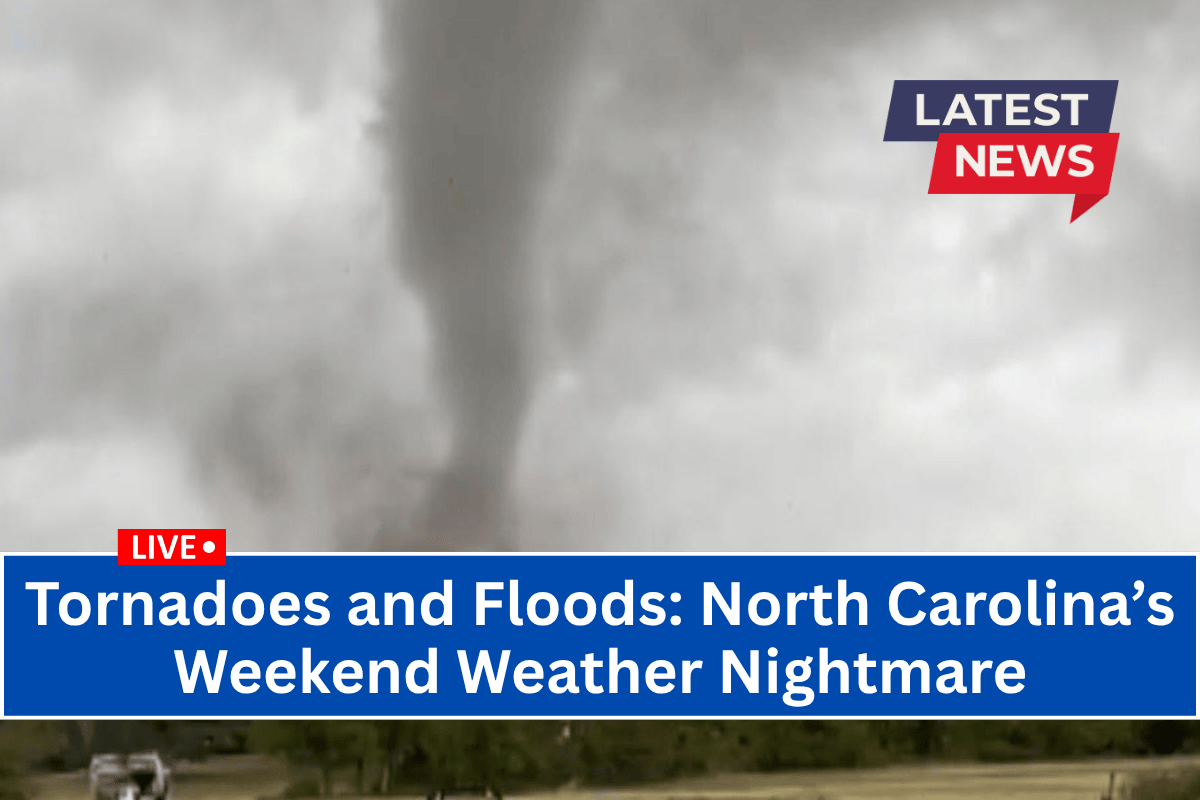
In addition to the heavy rain, there is also a tornado threat in some parts of the region. The eastern parts of central North Carolina, including counties like Johnston, Nash, and Wilson, may experience isolated tornadoes. It is important for residents in these areas to stay aware of the weather and be prepared to take action if a tornado warning is issued.
Travel and Safety Concerns
Travel conditions are expected to be hazardous due to poor drainage and flooded roads. Emergency managers are urging residents to avoid driving through flooded areas, as even shallow water can pose a risk to vehicles.
There is also a chance of localized power outages caused by high winds and saturated soil weakening trees.
What You Should Do
Temperatures across the region will stay in the 80s, and the weather will continue to be unstable. People are advised to secure any outdoor items that could be blown away in the wind, such as lawn furniture or trash bins. It’s also a good idea to charge mobile devices and make sure you have an emergency kit ready in case of power outages. Residents should also stay tuned to NOAA Weather Radio or local alerts to stay updated on changing conditions.
Forecast for Monday and Beyond
Additional showers and thunderstorms could persist into early Monday. If conditions worsen, the National Weather Service may issue further advisories to keep the public informed and safe.
In summary, North Carolina is facing a dangerous combination of heavy rain, potential flash flooding, and tornado risk through Sunday night, with weather conditions remaining volatile through Monday. Be sure to stay informed and prepared for any developments.


