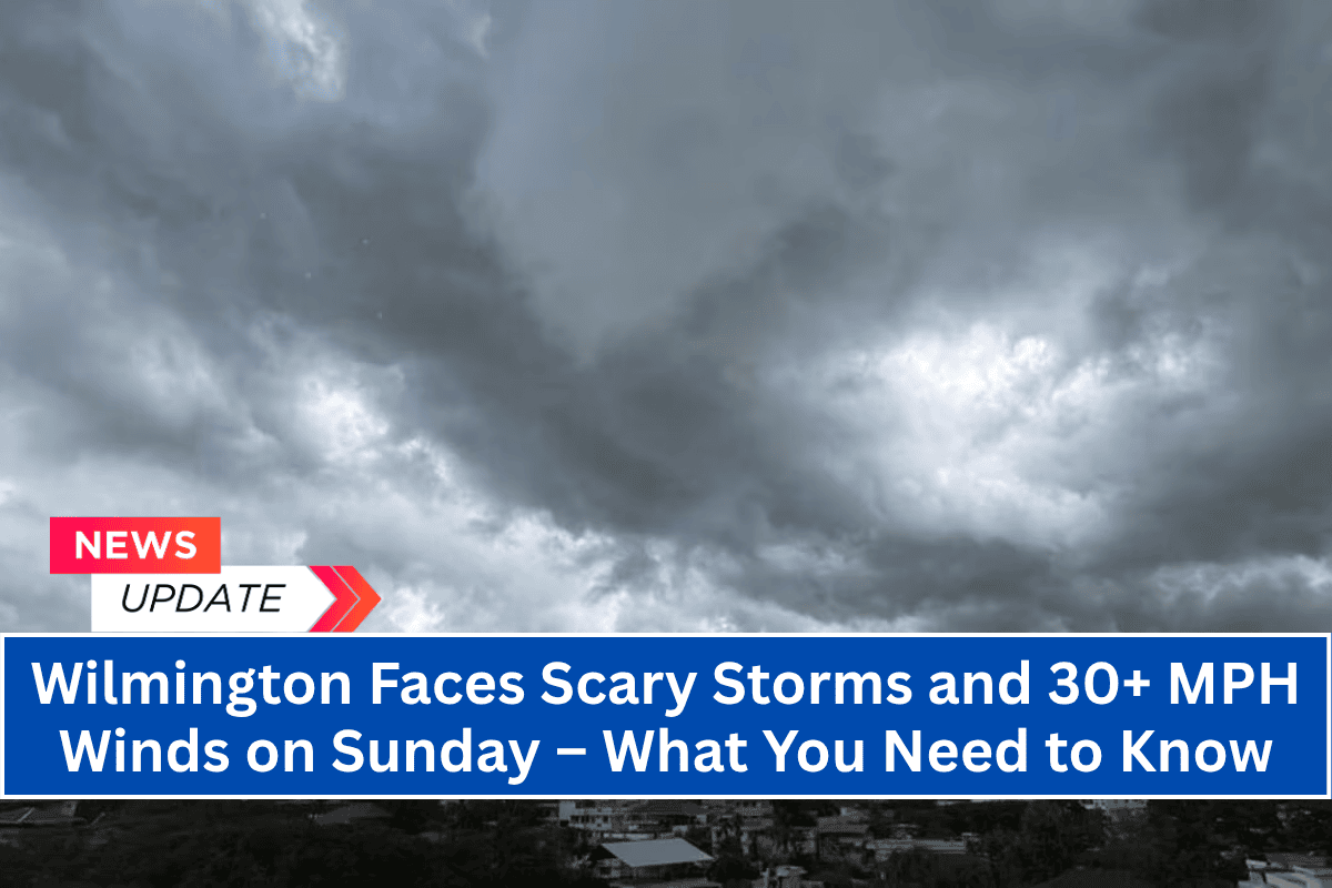
A strong weather system is set to impact southeastern North Carolina on Sunday afternoon, bringing thunderstorms, heavy rainfall, and gusty winds to the Wilmington area.
The National Weather Service has issued a weather watch for the region, warning that travel and outdoor plans could be disrupted, particularly along the I-140 corridor and surrounding areas.
The storm system is expected to intensify after 2 p.m., with winds reaching up to 30+ mph and rainfall totals between 0.5 and 1 inch.
Storm Details and Impact
The National Weather Service has indicated that scattered thunderstorms will become more intense by mid-afternoon Sunday, with gusty winds of up to 25 mph and heavy rain expected in Wilmington, New Hanover, Brunswick, and inland Pender counties.
These storms are forecast to last into Sunday night, with the possibility of localized flooding, particularly in low-lying or poorly drained areas.
Travel along major highways like I-140 and U.S. Route 74 could be affected by rapidly changing road conditions during the peak storm hours from 2 p.m. to 8 p.m. Drivers should be prepared for wet roads, reduced visibility, and potentially hazardous conditions.
Boaters and beachgoers near the Cape Fear coast should also exercise caution, as winds and rough seas may make outdoor activities dangerous.
Residents are encouraged to secure any loose outdoor items and avoid traveling on flooded roads. As the storms develop, it’s important to stay updated on weather alerts and take immediate action if conditions worsen.
Monday and Extended Forecast
Although Sunday will bring intense storms, conditions will improve slightly by Monday. Thunderstorms are expected to continue through the afternoon but should taper off by nightfall. Temperatures will remain warm and humid, with highs in the low 90s, typical of summer in the region.
The possibility of rain showers returns on Tuesday afternoon, with scattered thunderstorms expected throughout the week.
Here’s a quick look at the weather for Wilmington over the next few days:
Sunday: Showers and thunderstorms likely after 2 p.m. High near 86°F. Wind gusts up to 25 mph.
Monday: Thunderstorms continue after 2 p.m. High near 89°F with evening rain chances.
Tuesday: A 50% chance of storms. High near 91°F. Partly sunny with scattered clouds.
Wednesday: Afternoon showers possible. High around 91°F.
Thursday: Continued summer storms likely. High near 90°F.
Sunday’s storms are set to bring a mix of heavy rain, gusty winds, and potential flooding to Wilmington and nearby areas, particularly along the I-140 corridor. Residents and travelers should be prepared for rapidly changing conditions and take steps to stay safe during the peak storm hours.
Though the weather will improve somewhat on Monday, the region will remain warm and humid, with additional storms possible throughout the week.


