A severe thunderstorm watch has been issued for several areas along the northeastern U.S. coast, including Massachusetts (MA), Rhode Island (RI), and Connecticut (CT). This warning, which is in effect until tonight, is specifically targeting the waters off southern New England.
It brings with it risks of strong coastal winds, large hail, and possible hazardous weather conditions affecting marine travel. Here’s what you need to know about the storm and how it might impact your evening plans.
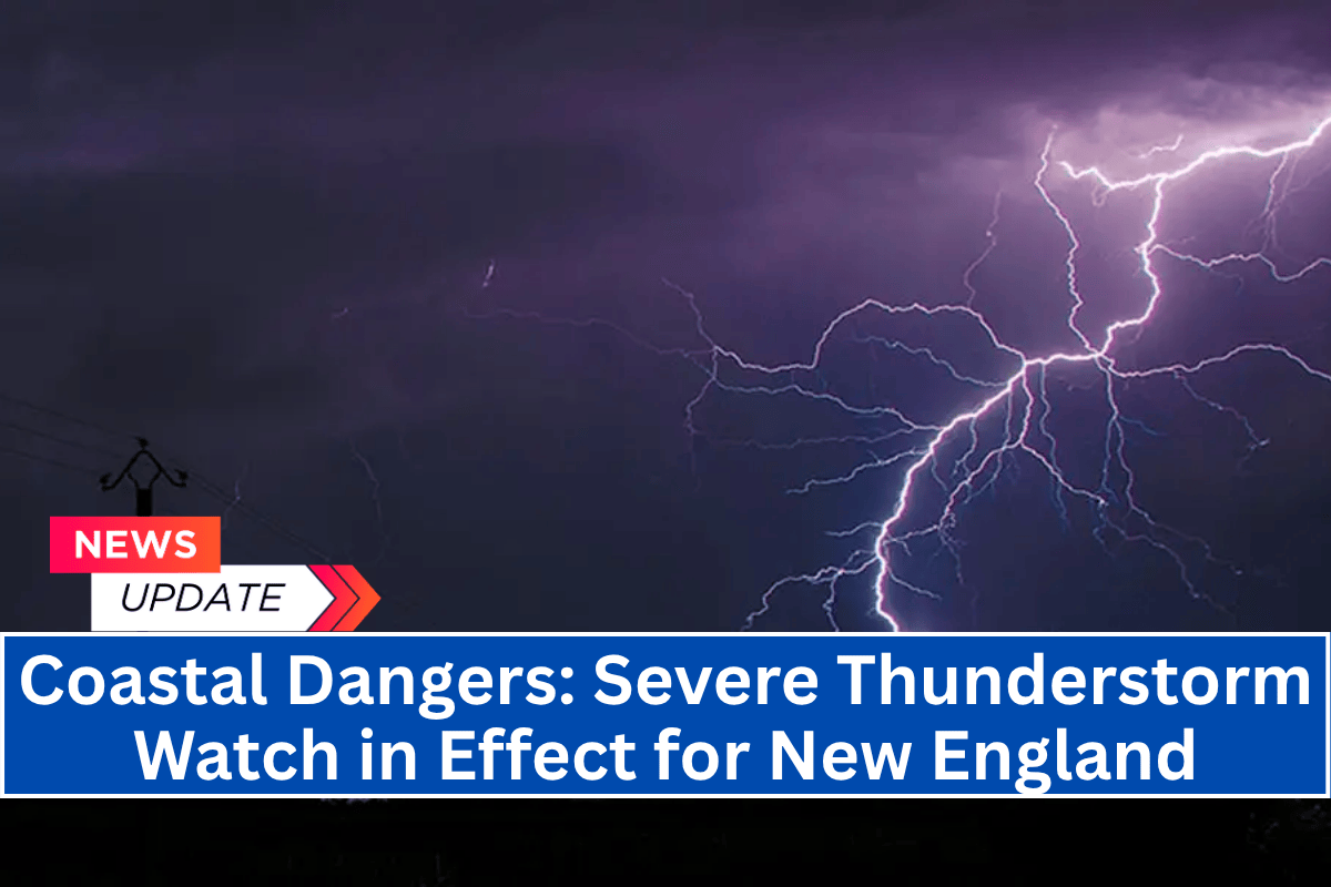
Severe Thunderstorm Watch in Effect
The National Weather Service (NWS) has issued Severe Thunderstorm Watch 484 for a number of marine zones, including:
Boston Harbor
Rhode Island Sound
Narragansett Bay
Long Island Sound
New York Harbor
This watch, which was announced at 1:30 p.m. EDT, warns of dangerous weather conditions expected throughout the evening. Areas along the coast could experience wind gusts up to 60 mph, which could make boating and other water activities unsafe.
Additionally, there is a risk of dangerous cloud-to-ground lightning and large hail, which could affect both marine activities and coastal communities.
Impact on Marine and Coastal Activities
Residents and visitors in areas such as Providence, New Haven, and New York City, particularly near the coast, should be prepared for sudden changes in weather. The storm is expected to bring heavy rainfall and possibly rapid storm surges, which could disrupt ferry services and recreational boating.
If you’re planning to spend time on the water or near the shore, it is highly advised to stay off the water until conditions improve.
Stormy conditions could also create problems for shoreline travel, so it is important to secure outdoor items and avoid unnecessary travel in these areas. Those in the affected regions should also stay tuned to local weather alerts for updates and instructions.
Third Storm This Week
This marks the third severe thunderstorm event for the region within just a few days, as July continues to bring frequent weather disturbances. With the system moving northeast, additional storm watches may be issued as it tracks through the night. Emergency managers have also noted the possibility of further risks to both marine and land-based activities.
As the evening progresses, it’s important to stay informed about the evolving weather conditions. Strong winds, heavy rain, and the risk of hail can pose dangers for both coastal residents and anyone on the water.
Officials are urging people to delay non-essential marine travel and secure any loose items outdoors. Whether you’re a beachgoer or boater, staying off the water and keeping an eye on weather alerts will be key to staying safe during this severe storm watch.


