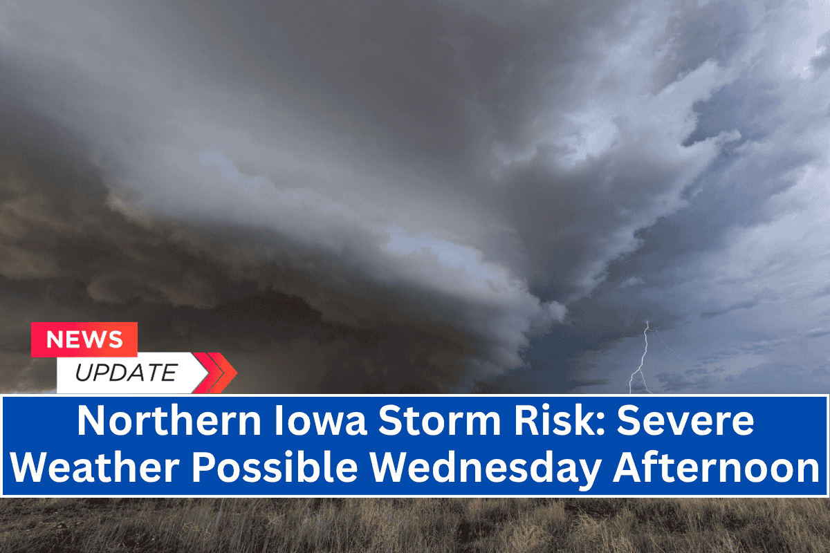
Iowa residents are being warned of severe weather that could impact the northern part of the state on Wednesday afternoon. Strong thunderstorms are expected to bring heavy rain, hail, and gusty winds just days before the July 4 holiday weekend.
Weather Forecast for Wednesday
According to the National Weather Service in Des Moines, the day will begin with light morning showers or weak storms across northwest Iowa.
However, the main storm threat will arrive later in the day, from the afternoon through early Thursday morning. Isolated strong to severe storms are likely to develop, particularly affecting the northern half of the state.
Cities such as Mason City, Fort Dodge, and Decorah could experience heavy rainfall and brief, damaging wind gusts between 2 p.m. and 8 p.m. Hail is also possible in some of the stronger storms.
While widespread severe weather is not expected, the National Weather Service advises residents with outdoor plans to stay alert to changing conditions.
Potential Impact on July 4 Weekend
As the holiday weekend nears, the threat of additional storms increases. There is a possibility of more rounds of severe weather on Friday through the weekend, which could impact travel plans and outdoor celebrations for the July 4th festivities.
Despite the storm risk, temperatures will remain warm, with highs ranging from the mid-80s to low 90s across Iowa.
Tips for Staying Safe
Residents are encouraged to monitor weather updates closely and have a backup plan for any outdoor activities. Given the potential for stormy weather, it’s important to stay weather-aware, especially if you have outdoor plans in the northern part of Iowa on Wednesday afternoon.
Keep an eye on weather alerts and be prepared to adjust plans if necessary.


