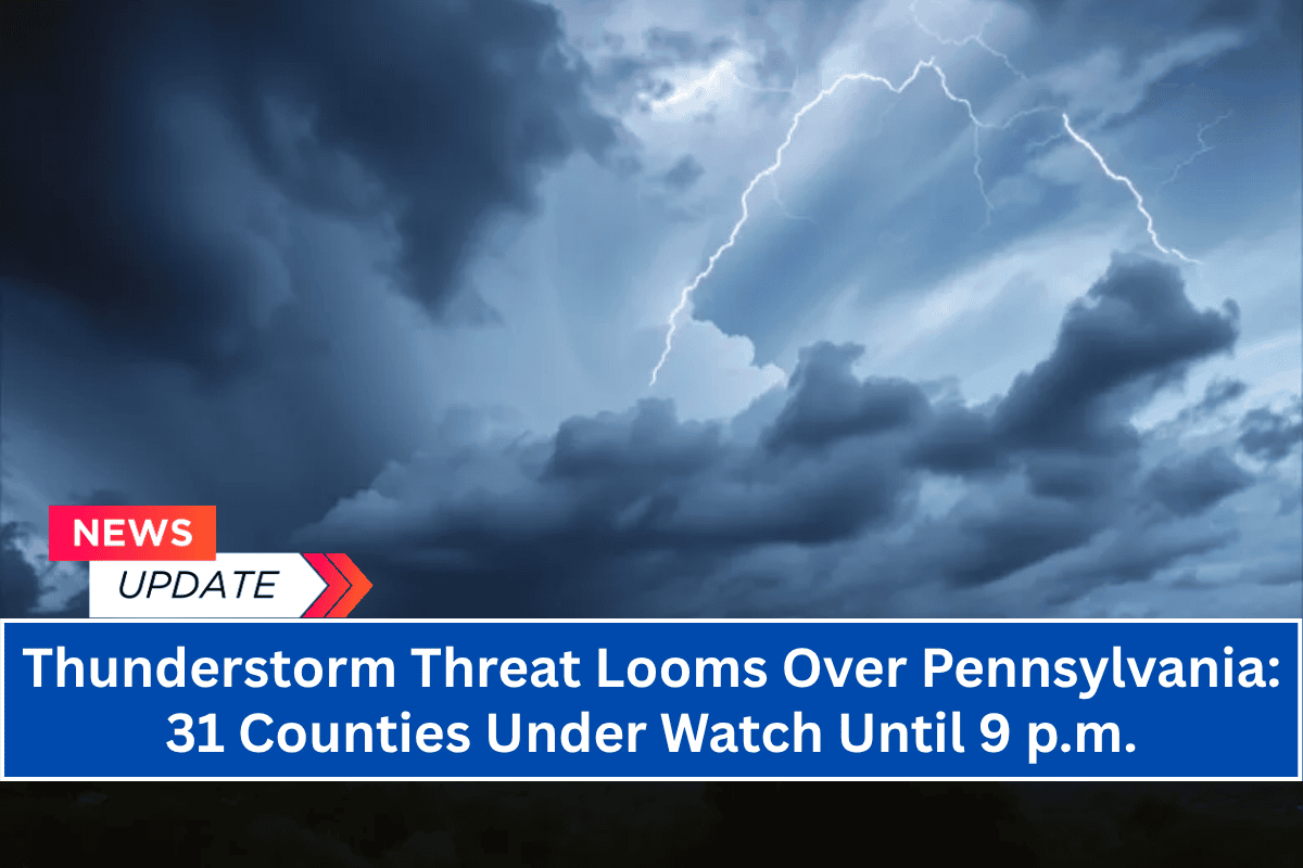
Harrisburg, Pa. – A Severe Thunderstorm Watch has been issued for a large portion of central and eastern Pennsylvania through 9 p.m. Tuesday, as a line of powerful thunderstorms is set to move across the state, bringing significant weather threats.
Affected Areas
The National Weather Service’s Storm Prediction Center has issued Severe Thunderstorm Watch No. 481, which includes 31 counties, such as Philadelphia, Lancaster, Harrisburg, Allentown, and York.
The affected areas will face a variety of hazards, including damaging wind gusts, hail, and heavy downpours that may cause localized flooding.
Weather Threats and Conditions
The storms are expected to bring wind gusts of up to 60 mph, which could lead to downed trees and power outages. Hail is also possible, with the potential for significant rainfall, especially in urban areas like Philadelphia and Allentown.
The heavy rain could result in water pooling on roadways, particularly in areas with poor drainage systems or saturated ground. Flooding may occur in low-lying areas or regions where rain falls at a faster rate than the ground can absorb it.
Key Areas at Risk
The severe thunderstorms will impact several major roadways, including Interstates 76, 78, 81, and 83, particularly through the afternoon hours, which will coincide with the busy commute. Conditions could change rapidly, making it important for drivers to remain vigilant and adjust plans accordingly.
Emergency managers are urging residents to secure outdoor items, avoid unnecessary travel, and stay updated through local alerts.
In urban areas such as Philadelphia and Allentown, fast-moving rainfall and poor drainage systems could lead to street flooding, particularly during the peak periods of heavy rain. These conditions could create hazardous driving situations, especially during rush hour.
Power Outages and Tree Damage
Due to the strong winds, isolated power outages are expected, particularly in rural areas where the soil is already saturated. The risk of tree damage is also high, as the high winds may cause weakened trees to fall across roads or power lines.
Residents are advised to prepare for the possibility of losing power, especially in areas that are more exposed to wind.
Urgency of the Situation
This is the first widespread severe thunderstorm watch to affect this region in over a month, adding a sense of urgency to today’s alert. The conditions could escalate quickly, and the potential for severe weather makes it vital for people in the affected areas to take the necessary precautions.
Ongoing Updates
The Severe Thunderstorm Watch is in effect until 9 p.m., but conditions could change, and further updates or warnings may be issued if the storms intensify or shift track. It’s important for residents to monitor weather sources regularly for any new developments or warnings.
What You Can Do
Secure outdoor items that could be blown away in strong winds.
Avoid unnecessary travel and stay off the roads if possible.
Charge devices and keep flashlights handy in case of power outages.
Stay tuned to local weather reports and follow any additional warnings or instructions from authorities.
As the storms continue to move through the area, stay informed and take necessary precautions to stay safe.


