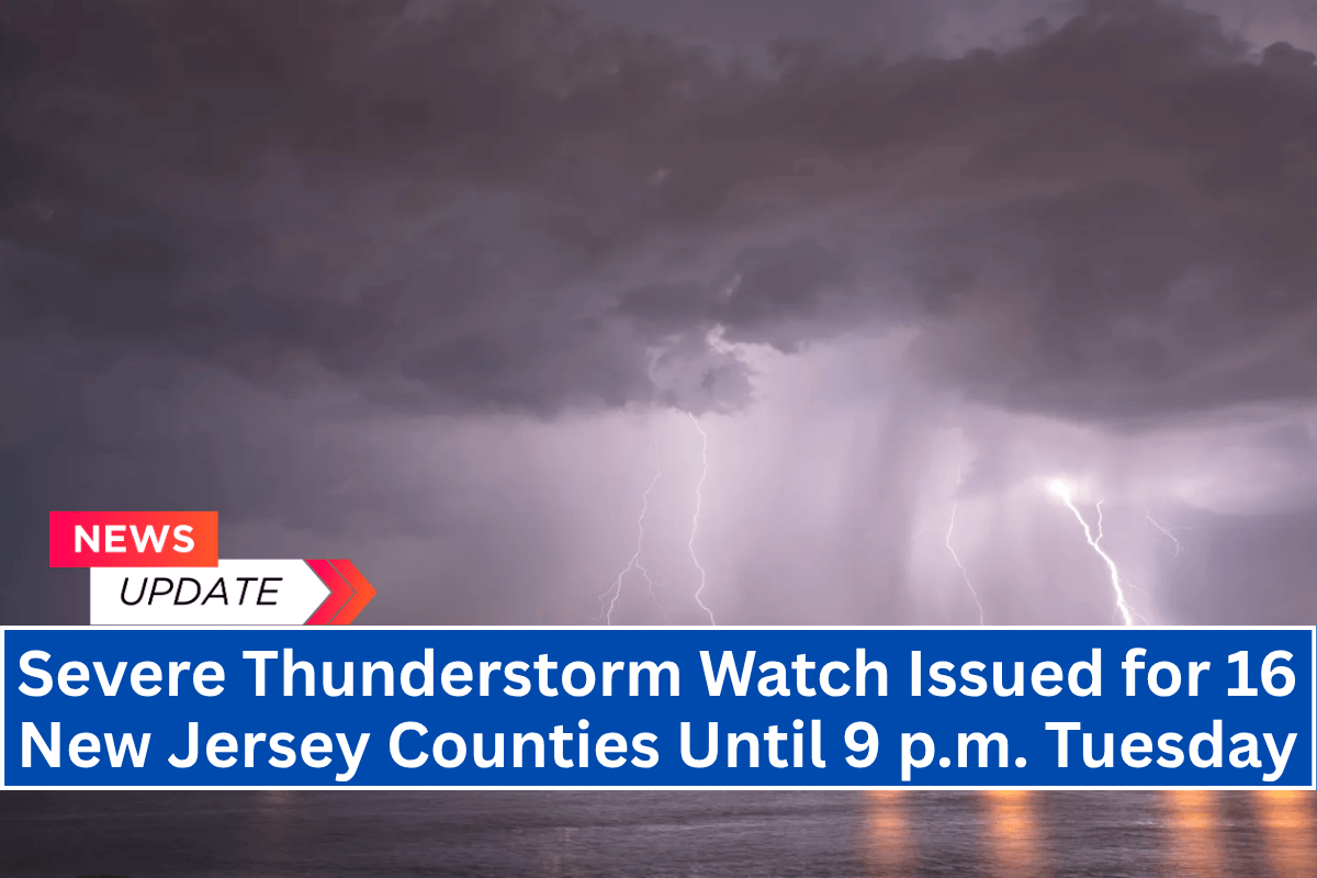
Trenton, N.J. – A Severe Thunderstorm Watch has been issued for 16 New Jersey counties as storms capable of producing damaging wind gusts, hail, and frequent lightning are expected to move through the area this afternoon and evening.
The watch is in effect until 9 p.m. Tuesday, with the threat of severe weather spanning from Cape May to Sussex.
Affected Counties and Weather Conditions
The National Weather Service’s Storm Prediction Center has highlighted Severe Thunderstorm Watch 481, which includes counties such as Camden, Middlesex, Monmouth, and Hunterdon.
Residents in these areas should be prepared for potential wind gusts up to 60 mph, along with the possibility of isolated hail and frequent lightning.
Travel and Safety Precautions
Major roadways, including the New Jersey Turnpike, I-295, and the Garden State Parkway, are expected to experience hazardous driving conditions due to sudden drops in visibility and strong winds. Drivers are urged to delay travel if possible and secure any outdoor items that could be blown away in the wind.
Power Outages and Flooding
Power outages are possible, especially in wooded suburban areas like Somerset and Warren counties, due to the impact of high winds on trees and power lines. Residents are advised to charge devices and monitor local weather alerts for updates.
While flooding is not a major concern, urban areas with poor drainage systems may experience brief street flooding under heavier downpours.
Ongoing Storm Threat
The storm threat will persist into the early evening, with scattered storms possible later tonight. The Severe Thunderstorm Watch remains in effect until 9 p.m., and further advisories may be issued if conditions escalate.
Stay tuned to local weather sources for updates and ensure that you are prepared for potentially hazardous conditions throughout the day.


